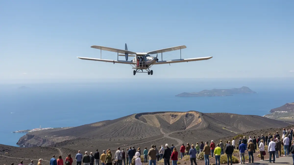
The ApusNeo18 aircraft, developed by Mira Aerospace, covered more than 3,000 kilometers and reached an altitude of 14,534 meters. The flight, which took off on November 2nd and landed on November 7th, represents a significant advancement in the safe integration of these platforms into airspace shared with commercial aviation.
The operation, coordinated by the Advanced Center for Aerospace Technologies (CATEC), required close collaboration with air traffic management authorities to ensure the HAPS platform's flight was compatible with the archipelago's regular air traffic. During the mission, real-time images and data were transmitted to the Geo Information Center (GIC) at the Fuerteventura Technology Park, supported by a new antenna at Pico de las Nieves, in Gran Canaria.
This milestone is part of a flight campaign aiming to progressively extend the duration, altitude, and range of operations, with the goal of reaching Gran Canaria and other islands. The validated technology complements satellite, aerial, and terrestrial observation and surveillance systems, opening possibilities for fire detection, emergency management, and territorial surveillance.
The campaign was made possible through coordination between the Fuerteventura Technology Park, the UTE Telespazio Ibérica–Pegasus Aero Group, Space42, and CATEC, along with entities such as the State Aviation Safety Agency (AESA), ENAIRE, SAERCO, and AENA. This record adds to other achievements by the Canarias Stratoport, including Europe's first simultaneous flight of a High Altitude Balloon (HAB) and a High Altitude Platform Station (HAPS).
The operation is part of the ISSEC project, within the Canarias Geo Innovation 2030 initiative, and is financed with regional and European NextGenerationEU funds. The project is managed by the Fuerteventura Technology Park, under the Island Council of Fuerteventura.