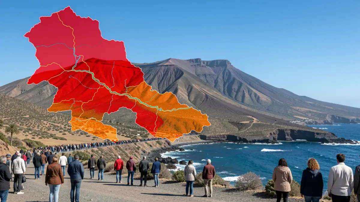
The island of Tenerife now has a new map identifying areas at risk of flooding. The Insular Water Council of Tenerife has updated the cartography, tripling the number of locations presenting this hazard. The update raises the count of potential risk zones from eight to 27.
This proposal, part of the third planning cycle (2027-2033), incorporates 19 new Areas of Significant Potential Flood Risk (ARPSI) of fluvial-pluvial origin, in addition to expanding two existing ones. The maps will be open for public consultation for three months to allow for objections.
New technical studies, resulting from the development of hazard and risk maps, have formed the basis for this update. Hydraulic modeling of 133 kilometers of riverbeds revealed the existence of new risk areas, prompting a review of the Preliminary Flood Risk Assessment (EPRI) from March 2026.
Until now, the fluvial-pluvial risk areas in Tenerife had remained largely unchanged since the first assessment in 2014, which identified eight ARPSIs covering a combined length of 20.40 kilometers. The second cycle assessment (2019) maintained these same areas.
In the third cycle, after analyzing 101 flood events between 2018 and 2023, the initial eight ARPSIs were kept. However, it was recommended to re-evaluate these sections to improve knowledge and methodologies.
Subsequent work has enabled the identification of 19 new sections as ARPSIs and two expansions. The new document now includes a total of 27 fluvial-pluvial risk areas, grouped into 30 sub-sections, with a combined length of 101.15 kilometers.
Among the newly affected zones are sections of ravines such as Barranco del Muerto, Agua de Dios, Lomo de los Pastores, Martiánez, Palo Blanco, La Herrera, El Preceptor, La Hoya, Blas, Archipenque, Guía, or La Carnada, as well as watercourses in municipalities including Santa Cruz de Tenerife, La Laguna, Tegueste, La Orotava, Los Realejos, Icod de los Vinos, Garachico, Los Silos, Santiago del Teide, Guía de Isora, Arona, Granadilla de Abona, Candelaria, and others.
The update also incorporates new hazard and risk maps, detailing floodable areas for different scenarios, predicted depths, preferred flow paths, and the public hydraulic domain. It also maps potential flood impacts on the population, economic activities, specific points of importance, and environmentally sensitive areas.
The aim of these studies is to enhance the understanding and assessment of flood risks within the Hydrographic Demarcation of Tenerife, facilitating coordinated action by administrations and society to mitigate potential consequences.
The resolution, approved on August 13, 2026, is now open for a three-month public consultation. Any natural or legal person, as well as affected public administrations, can submit suggestions. The urgent processing is due to the European water and flood management regulations timeline, aiming to avoid potential EU sanctions.