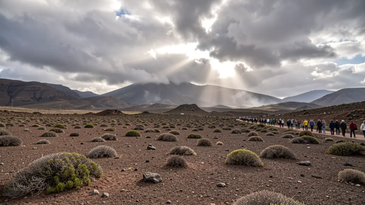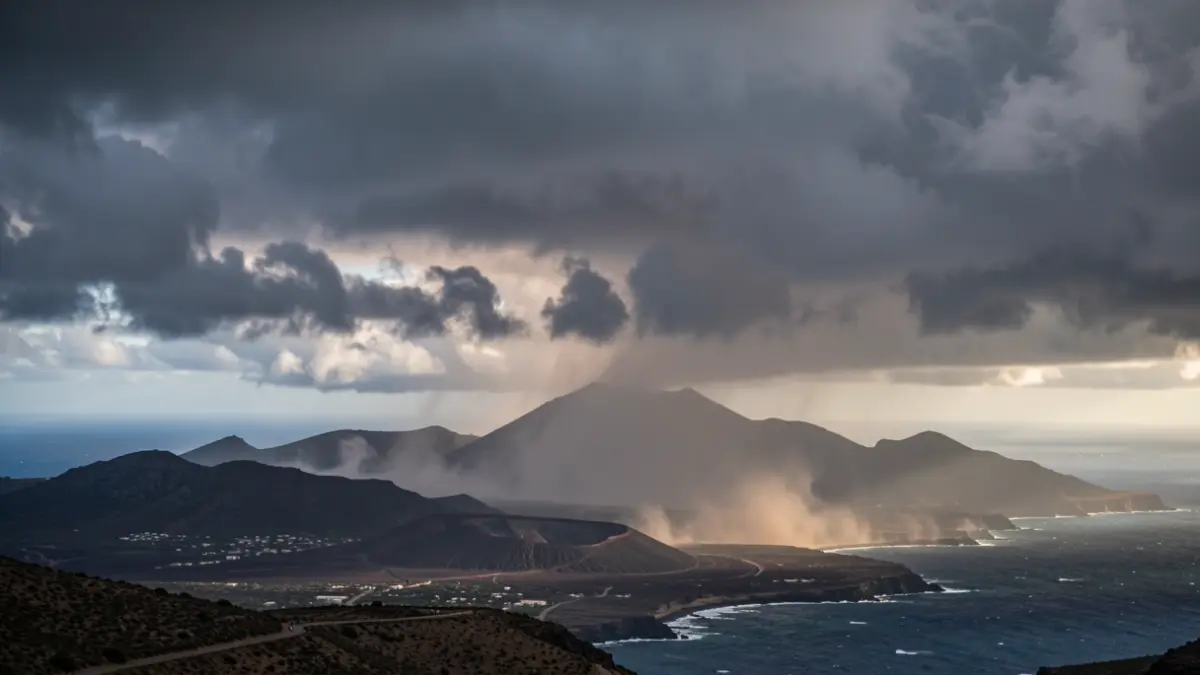
The meteorological alerts will begin in the early hours of Monday and will affect the islands with varying intensity, particularly the southern slopes, mid-altitude areas, summits, and inter-island maritime channels. This thermal and wind surge is attributed to the intensification of the trade winds and the entry of a dry air mass with suspended dust.
Authorities advise extreme caution on the coast and in summit areas, where the heat and wind gusts will increase the risk of forest fires. Gran Canaria is expected to be the most affected island by the temperature rise, with alerts for high temperatures, wind, and rough seas between 11:00 AM and 11:00 PM on Monday. Thermometers could reach nearly 37 degrees Celsius in the southeastern, southern, and western mid-altitude areas.
Winds will blow strongly, triggering yellow alerts in several locations. La Gomera will experience the most complex situation, with gusts reaching 90 km/h in low-lying western and southeastern areas. Lanzarote and La Graciosa will have alerts for winds of 70 km/h from Monday morning until Tuesday midday. Tenerife and El Hierro will activate alerts for coastal phenomena, with northeasterly winds up to 61 km/h in northern El Hierro and the channel separating Tenerife from Gran Canaria.
Additionally, very strong gusts are expected in the northwestern tip of Tenerife, the Agaete valley, and southern Fuerteventura. Dust storms are set to return from the east, primarily affecting the high areas of the eastern islands and weakly extending towards the western islands later in the day.