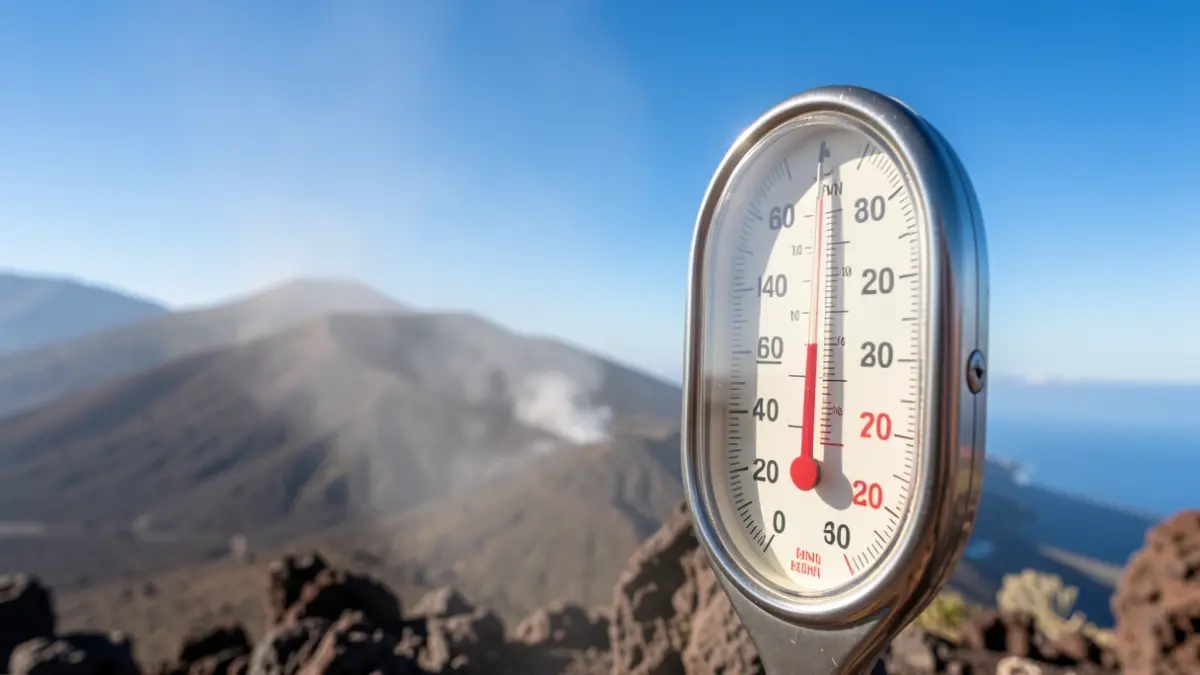
The Canary archipelago is preparing for a heat episode this Sunday, with meteorological warnings activated for high temperatures on several of its islands. According to the State Meteorological Agency (Aemet), Gran Canaria, Lanzarote, and Fuerteventura will be under a yellow alert. Maximum temperatures are expected to reach 34 degrees Celsius starting from 11:00 AM.
This thermal rise in the islands coincides with a day marked by significant meteorological instability across much of the mainland. While the Canary Islands experience a temperature surge, other autonomous communities are facing warnings for storms, heavy rain, and strong gusts of wind.
In contrast to the Canarian heat, central Lugo is under an orange alert for storms with significant risk, which could be accompanied by hail and very strong wind gusts. In the rest of Galicia, yellow warnings remain in place for precipitation with significant accumulations. The instability extends to the northern peninsula, affecting Asturias, Cantabria, and areas of Castilla y León such as León, Palencia, Burgos, and Zamora, which are registering alerts for storms and hail.
In Aragón, the Huesca Pyrenees are on alert for storms. Meanwhile, in Andalusia, particularly in Cádiz, warnings for wind and coastal phenomena remain active, with gusts potentially reaching between 70 and 80 kilometers per hour along the coast and the Strait. Most of these warnings on the mainland will be activated from 2:00 PM, while in the Canary Islands they will begin earlier, at 11:00 AM.