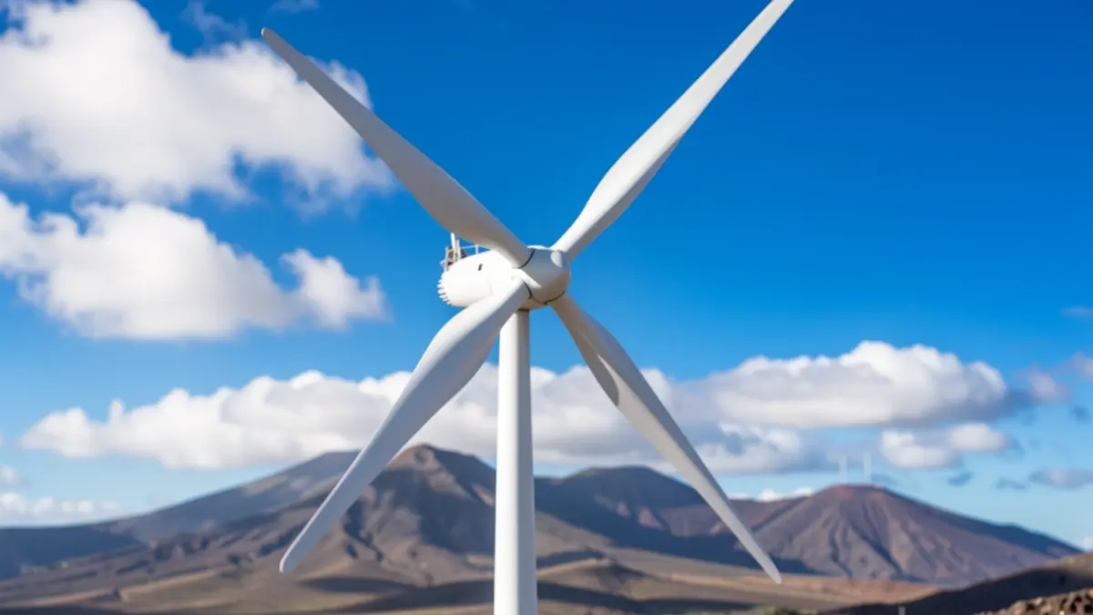
After several days marked by the presence of calima, high temperatures, and intense winds, the climatic outlook in the Canary Islands is set to transform. Forecast models from Meteored indicate that a southerly flow at mid-levels is dragging suspended dust from the African continent.
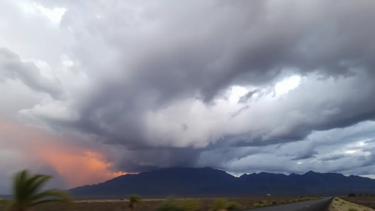
This combination of factors creates ideal conditions for the dreaded mud rain. The precipitation falling over the Canarian territory will not be clean, as the air laden with calima particles will coincide with the formation of convective cells. Residents are advised to watch for dirt deposits on vehicles and outdoor furniture, especially from midday onwards, when stormy activity is expected to peak.
Although the instability will affect the entire Archipelago irregularly, the islands with higher elevations such as Tenerife, La Palma, La Gomera, and Gran Canaria will record the most significant accumulations. Experts warn of the possibility of adverse phenomena like localized hailstorms and wind gusts that could exceed 70 km/h in high-altitude areas.
“"Accumulations will be very irregular, but locally substantial in a very short time."
The key to this weather change lies in a trough that will remain almost stationary to the west of the Iberian Peninsula, allowing small instability waves to directly impact the Canary Islands. This situation necessitates extreme caution due to potential runoff or sudden increases in barranco water levels.
From Thursday, the inherent uncertainty of these forecasts begins to clear, pointing to a higher probability of heavy showers. The formation of a small isolated low-pressure system (DANA) within the trough will significantly increase instability. During the mornings, the sky might show cloudy intervals with calima, but it will be after midday when the accumulated surface heat triggers cloud growth, marking the beginning of an active meteorological spring.