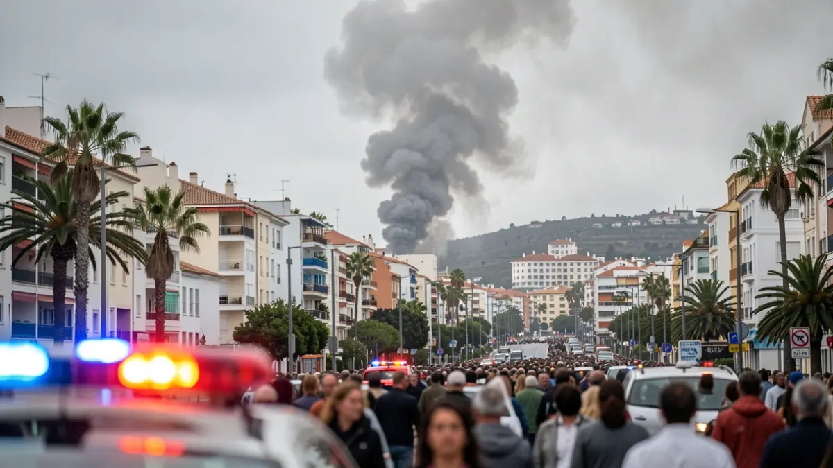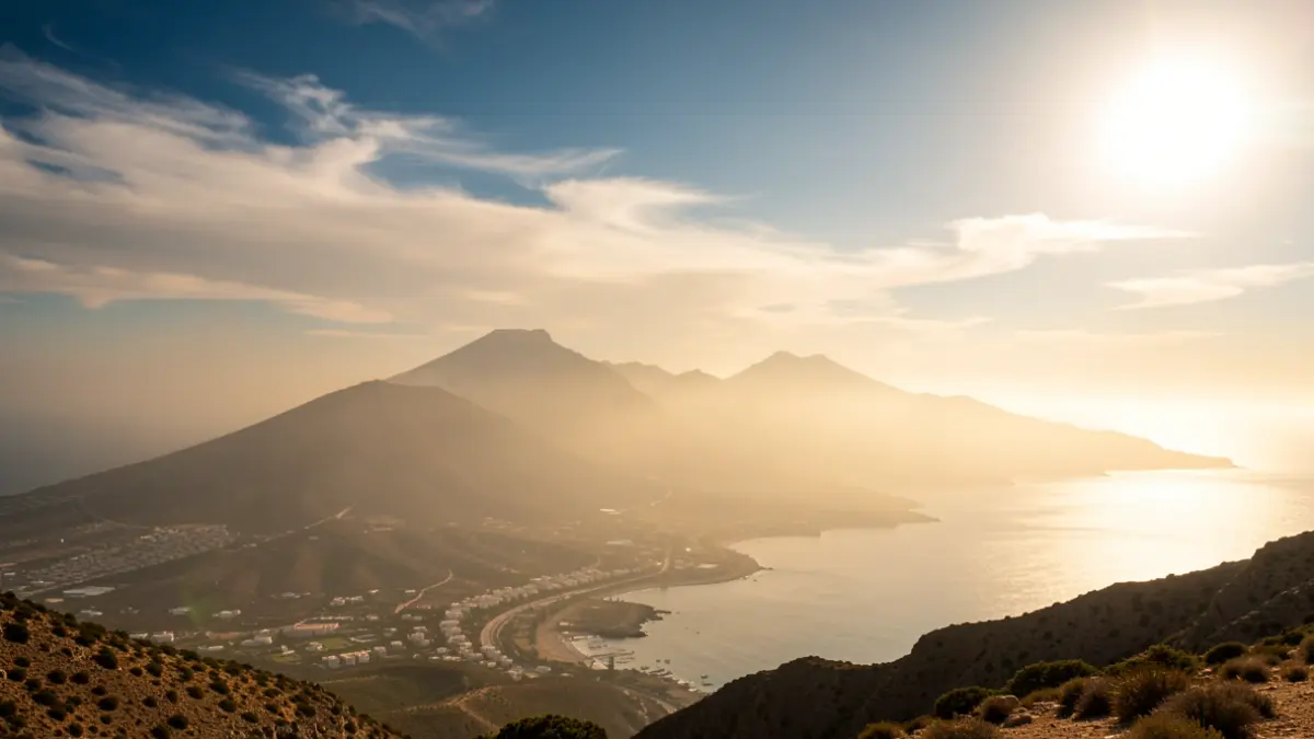
The Canary Archipelago is bracing for a repeat of the suffocating day experienced previously, with thermometers set to remain near 40 degrees Celsius this Wednesday. A light layer of calima (Saharan dust) and the prevalence of hot air will intensify the heat sensation.
The heat has particularly affected the highlands and south of Gran Canaria, as well as the metropolitan area of Tenerife. In these regions, temperatures surpassed 35 degrees Celsius, with San Bartolomé de Tirajana recording the highest maximum of 39.1 degrees Celsius across the Archipelago. The State Meteorological Agency (Aemet) raised the alert from yellow to orange in Tenerife's metropolitan area due to the thermal rise.
Nights have also been unusually warm, with tropical nights (above 25 degrees Celsius) recorded in several municipalities in Gran Canaria, El Hierro, La Gomera, and Lanzarote. Tropical nights make it difficult for the body to regulate temperature and rest, factors linked to mortality during heatwaves.
The northern slopes of the islands and coastal areas are acting as climate refuges thanks to the trade winds, which maintain more moderate temperatures, between 23 and 25 degrees Celsius in municipalities like Tacoronte, La Victoria, Garachico (Tenerife), Frontera (El Hierro), or La Oliva (Fuerteventura). The humidity from the sea breeze has also cooled areas like Maspalomas (Gran Canaria).
This atmospheric situation, described as "typical for summer," is due to the dispersion of the Azores anticyclone and the consequent influence of the African ridge, a pocket of hot air settled over the islands.
From Thursday, a "marked" drop in temperatures is expected. According to David Suárez, Aemet's delegate in the Canary Islands, there will be a "replacement of air mass" with the return of the trade winds, which will help remove the warm ridge and clear the calima. On Thursday, only a yellow alert for high temperatures remains for the southern midlands and highlands of Gran Canaria.
The Government of the Canary Islands maintains an alert for high maximum temperatures until Friday across all islands and for the risk of forest fires in El Hierro, La Palma, La Gomera, Tenerife, and Gran Canaria. The island councils have activated extraordinary measures, including the prohibition of open fires, smoking in recreational areas, and the use of machinery that could generate sparks in risk zones.