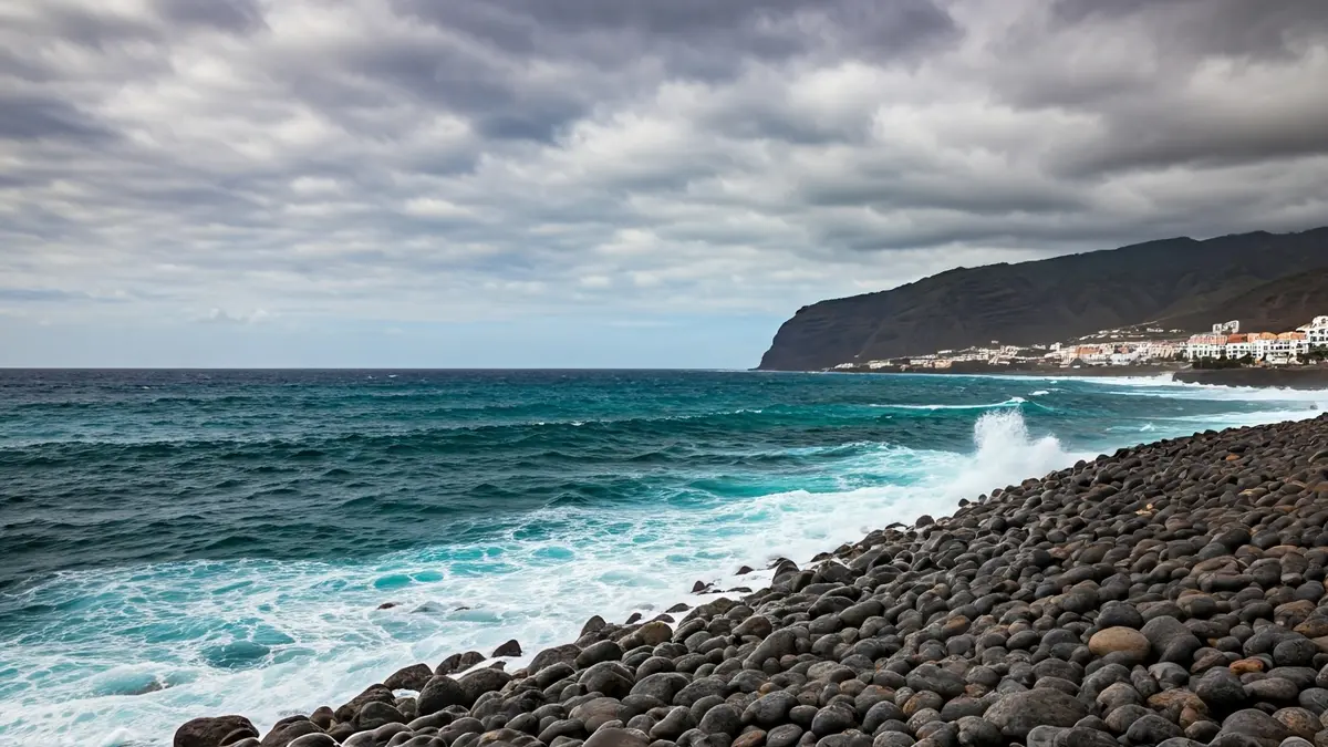
Starting from 6:00 PM this Sunday, several areas of the archipelago will be under alert. Specifically, the coasts of Lanzarote, as well as the east, south, and west of Tenerife and Gran Canaria, will experience a yellow risk for coastal phenomena.
The wind, meanwhile, will affect Lanzarote, El Hierro, La Gomera, the peaks and west of La Palma, the peaks of Gran Canaria, and the entire island of Tenerife, with the exception of the metropolitan area. These conditions are part of a broader meteorological picture impacting the peninsula and the Balearic Islands.
Nationally, the passage of a cold front and the formation of a low-pressure system in the Mediterranean have led to a generalized drop in temperatures and rainfall in various regions. Aemet has issued warnings in 13 autonomous communities for different phenomena, including rain, storms, wind, and snow.
In the Canary Islands, skies will be cloudy with precipitation on the northern slopes, while the south expects cloudy intervals. The trade winds will blow strongly, with very intense gusts, contributing to the adverse conditions at sea and on land.