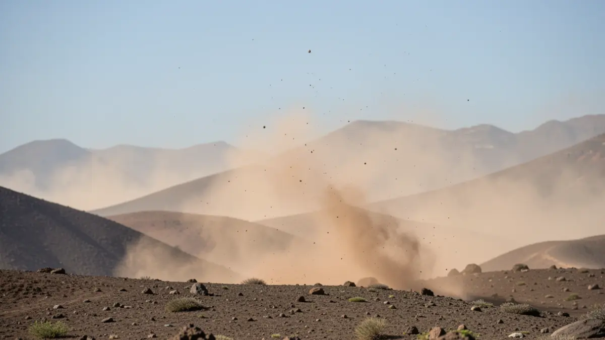
The Canary archipelago will experience a meteorological shift mid-week with the return of calima. The State Meteorological Agency (Aemet) has confirmed that suspended dust will become more prominent during the second half of Wednesday, particularly affecting higher altitude areas.
This phenomenon will coincide with a rise in temperatures, especially noticeable on the northern and eastern slopes, as well as on the peaks of the larger islands. The capitals will register maximum temperatures of 25 degrees in Santa Cruz de Tenerife and 23 in Las Palmas de Gran Canaria, with minimums not dropping below 18 degrees. Arrecife is expected to be the warmest spot, reaching up to 26 degrees.
For Thursday and Friday, Aemet anticipates that calima will be "testimonial" in the mid-altitudes of southeastern Tenerife, La Palma, La Gomera, and El Hierro, with the possibility of some light rain in the north. However, in the eastern half of the Archipelago, inland temperatures could reach 30 degrees.
Wind will be another significant factor, with a predominance of moderate northerly winds and strong intervals on the southeastern and northwestern slopes, potentially recording very strong gusts during the day, increasing the sense of instability.
Regarding sea conditions, moderate northeasterly winds of force 4 to 5 are expected, with occasional gusts up to force 6. This will generate moderate to rough seas, with waves of 1 to 2 meters from the north, making navigation and recreational activities difficult.
The distribution of calima and cloud cover will vary according to the orography of each island: Lanzarote and Fuerteventura will have mostly clear skies with calima in high areas in the afternoon. Gran Canaria will experience cloudiness in the north with possible light drizzles, and clear skies with calima in southern mid-altitudes. Tenerife will show cloudiness retained in the north, opening up to wide clear spells in the afternoon, with hazy atmosphere at altitude in the south and wind on the northwest and east coast. La Gomera, La Palma, and El Hierro will maintain low clouds in the north and light calima in the high southern and southeastern areas.
Experts remind that the presence of fine particles significantly reduces horizontal visibility and recommend precautions for vulnerable populations due to the arrival of Saharan air.