The Ministry of Territorial Policy, Territorial Cohesion, and Water of the Government of the Canary Islands has released the initial approval document for the Supplementary General Planning Plan for Villa de Mazo, located in La Palma. This territorial planning instrument updates the municipality's planning, adapting it to the new local reality and the updated text of the Law on Land and Protected Natural Spaces of the Canary Islands, particularly concerning the delimitation of rural settlements in municipalities facing demographic challenges, such as Mazo. The public exhibition period, which began on August 5, will last for two months.
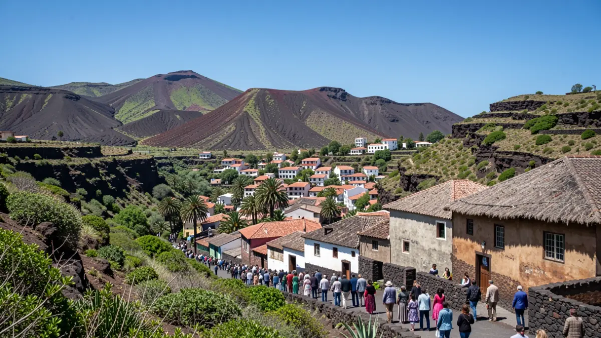
The document, guided by principles of greater legal certainty, increased housing, and balanced growth, addresses the need to confront the demographic challenge in this rural area. It aims to complete existing gaps within traditional settlements, allowing for the development of new homes without occupying additional territory. The goal is to retain the local population, prevent the abandonment of rural areas, and ensure the maintenance of economic and social activity in these settlements.
The Director General of Territorial Planning and Territorial Cohesion, Onán Cruz, highlighted that this urban planning instrument exemplifies the Government's commitment to modern, sustainable territorial planning adapted to the real needs of municipalities. He added that it will enable Villa de Mazo to have a plan to face new development opportunities in the coming years, strengthening the rural environment and making urbanism a tool for territorial cohesion and the fight against the demographic challenge.
For his part, the mayor, Idafe Hernández, described this approval as an important step for the future of Mazo, resulting from the constant work and commitment of the City Council to unblock a strategic project for the municipality's development. He emphasized the work of all administrations and technical staff, announcing that during the public information period, a consultation room will be set up with technical support to facilitate public access to the document and resolve any doubts, ensuring the process unfolds with maximum proximity, transparency, and participation.
Currently, the rural settlements included in the planning house 1,697 homes, with approximately 4,361 inhabitants. The new ordinance will allow for the incorporation of 615 new homes, with an estimated capacity for 1,581 new residents, representing a 30% increase in the current population. The objective is to combat depopulation and encourage generational renewal, as explained by Cruz.
Furthermore, the document foresees the creation of 13 new public spaces, increasing the total to 21,443.42 square meters. Community lands will cover 29,546.32 square meters, distributed among 30 facilities, of which 22 are existing provisions and 8 are new reserves incorporated by the plan. In total, the general plan proposal allocates 50,990 square meters to public spaces and facilities, aiming to enhance the quality of life for future residents and ensure that residential growth is accompanied by necessary services.