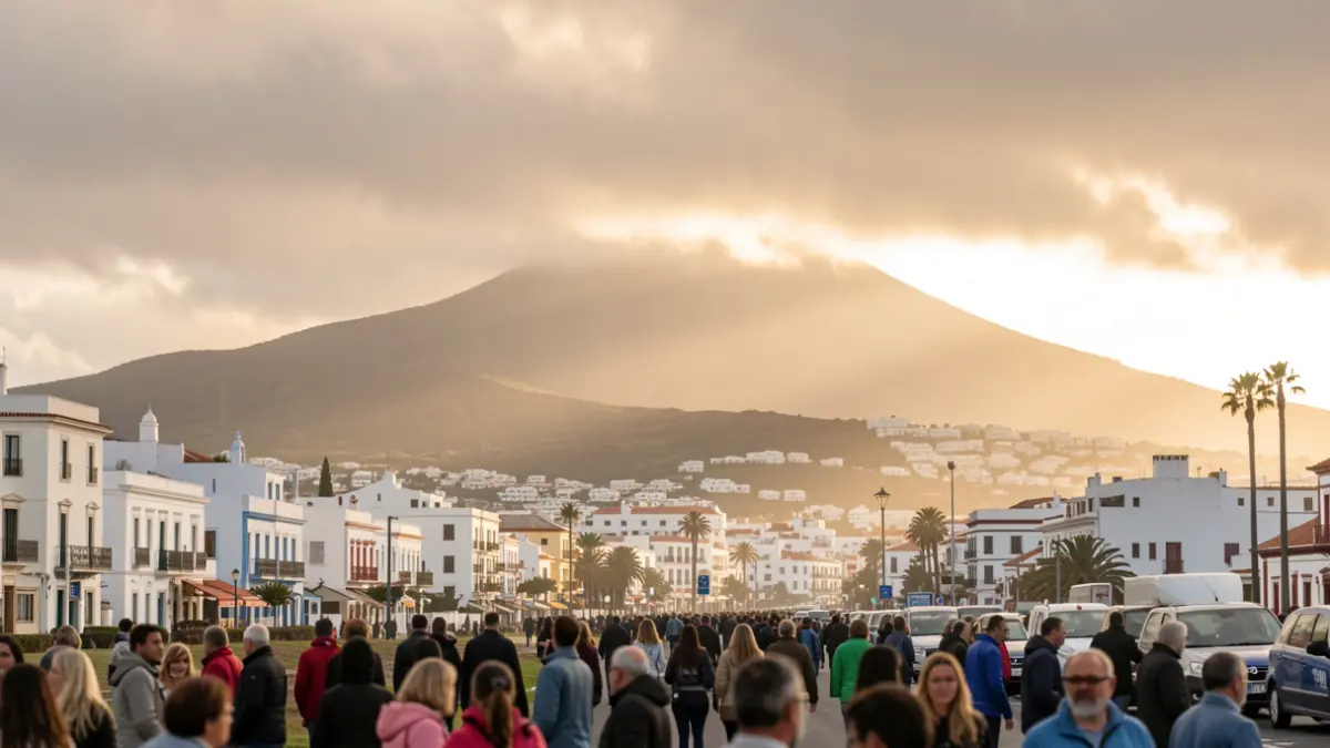
The State Meteorological Agency (AEMET) forecasts that the heat will intensify across the islands, reaching up to 40 degrees Celsius in several locations. Additionally, calima is expected at higher altitudes, creating a day of partly cloudy skies. Winds will be strong with gusts, potentially very strong at times and in certain latitudes.
In the capitals, Santa Cruz de Tenerife will record a maximum of 30 degrees Celsius and Las Palmas de Gran Canaria, 27 degrees Celsius, with minimums of 22 degrees Celsius in both cities. The forecast details moderate to strong trade winds, with locally intense and very strong gusts in the interior and southern parts of the islands.
By island, Lanzarote anticipates highs exceeding 30-32 ºC in the southern interior, with calima at altitude and strong winds with very strong gusts in the south. In Fuerteventura, highs of 32-34 ºC are expected in the southern interior, with calima and occasionally very strong gusts in the south of Jandía.
Gran Canaria will be one of the most affected islands, with highs potentially reaching 35-37 ºC and locally 37-40 ºC in the southeast, south, and west midlands, as well as in the Tejeda basin. Night temperatures will barely drop below 25-27 ºC in these areas. The trade winds will be strong, with very strong gusts that could exceed 80 km/h.
In Tenerife, highs of 34 ºC are predicted for the southern part of the metropolitan area and up to 37 ºC in the southeast, south, and west midlands. Night minimums will be around 25 ºC in these regions. The trade winds will be strong, with very strong gusts in the southeast and northwest extremities.
La Gomera will see highs exceeding 34 ºC in the southeast, south, and west midlands, with calima and strong winds featuring very strong gusts on the east and northwest slopes. On La Palma, highs could surpass 34 ºC in the west midlands and high areas, and 30 ºC in the east midlands, with light calima and occasional very strong gusts in the southeast and northwest extremes.
Finally, El Hierro forecasts highs exceeding 34 ºC in the southern midlands and high areas, and 30 ºC in the northwest midlands. Light calima will be present, particularly on the south-facing slopes, and the trade winds will be strong with occasionally very strong gusts in the southeast and northwest extremities.