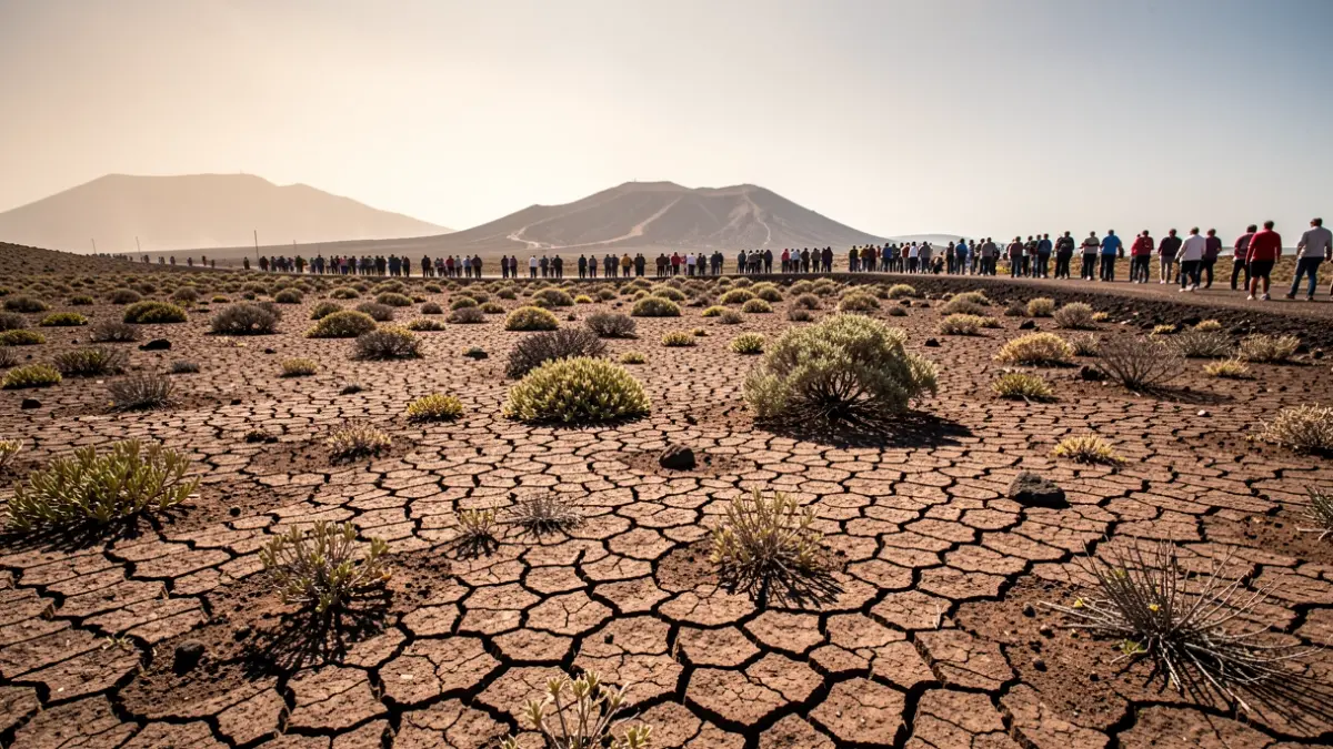
The island of Gran Canaria has recorded, up to Tuesday, August 4th, six consecutive days with maximum temperatures above 40 degrees Celsius. Nights have also been torrid, with minimums exceeding 30 degrees in areas like Tasarte and nearly 30 degrees in Tunte, at the higher altitudes of San Bartolomé de Tirajana. A slight relief from this extreme temperature episode is expected from Wednesday onwards, according to the State Meteorological Agency (Aemet).
Tuesday's maximum temperatures, although exceeding 41.2 degrees in Cuevas del Pinar in the southern midlands of Gran Canaria, showed lower values across the rest of the archipelago compared to previous days. Tejeda recorded 39.8 degrees, Agüimes 39.1, Pájara 38.7, and San Cristóbal de La Laguna (Tenerife) 38.5 degrees. This intrusion of Saharan air at altitude has consolidated the heat episode, accompanied by light haze at higher elevations.
Thermal inversion in lower areas has confined the heat to the midlands and peaks of the southern half and its eastern and western slopes, turning the Tejeda basin and the southeastern region into the hottest spots. This situation has led to the activation of the red alert for extreme temperatures in Gran Canaria for the third time since 2007.
Despite the forecast of relief, the Aemet's warning map and the alerts from the Directorate General of Emergencies of the Government of the Canary Islands advise caution. In Gran Canaria, the orange alert for significant risk of high temperatures remains active on the eastern, southern, western slopes, and summit areas, with maximums expected between 37 and 39 degrees Celsius, especially in the midlands. Tenerife, La Palma, La Gomera, and El Hierro have yellow alerts on southern and western slopes for readings between 34 and 36 degrees Celsius.
Furthermore, the trade winds will continue to blow strongly, maintaining the yellow alert for wind gusts of up to 70 km/h on the southeastern and western slopes of Gran Canaria and the Anaga-Agaete channel. There is also an alert for coastal phenomena, with winds up to force 7 between islands, particularly between Tenerife and Gran Canaria, generating rough seas and waves exceeding 1.5 meters in height.
The combination of extreme heat, low relative humidity (below 30%), and strong northeasterly wind gusts increases the risk of fires, forming the 'triple 30' rule. The Government of the Canary Islands maintains the Maximum Alert for Forest Fire Risk in Gran Canaria and an alert in other islands with forest mass.
For Thursday, the return of the 'donkey's belly' (low clouds) is expected in the north of the main islands in the early and late hours, with possible weak and scattered drizzles. Temperatures are expected to drop generally, returning to values typical for the season.