The Directorate General of Emergencies activated the alert based on information from the State Meteorological Agency and other available sources, implementing the Specific Emergency Plan of the Canary Islands for Adverse Weather Phenomena Risks (PEFMA).
The measure affects the coasts of the maritime channels between La Gomera-Tenerife and Tenerife-Gran Canaria, as well as the southeastern coast of the island of Gran Canaria.
North to northeast winds of 30 to 50 kilometers per hour (force 5 to 6) are expected, with gusts reaching force 7 (50 to 61 km/h) in specific areas of La Gomera, Tenerife, and Gran Canaria, particularly on their eastern and southeastern coasts, and offshore south of the Tenerife-Gran Canaria channel.
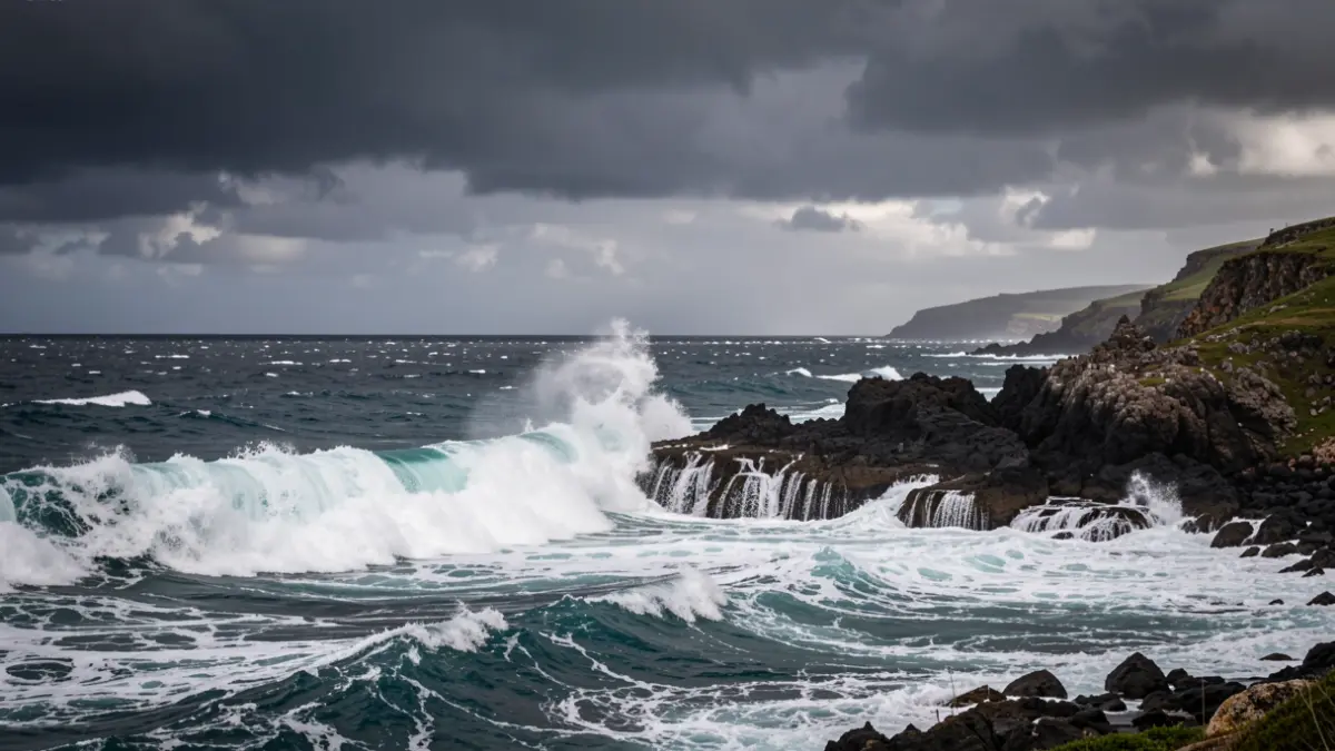
Sea conditions will include moderate seas with areas of strong swell increasing to rough seas, especially south of the channels and in southeastern Gran Canaria. North-westerly groundswell is also anticipated, with waves of 1 to 2 meters in the northern channels, and southerly groundswell on open coasts to the south with the same wave height.
The Directorate General of Emergencies urges the public to follow the self-protection advice available on its website.