In the northern areas of the higher relief islands, predominantly cloudy or overcast skies are expected, with occasional light or locally moderate rainfall. These precipitations are also possible in the southern mid-altitudes in the afternoon and in the easternmost islands later in the day.
Minimum temperatures will see little change, except in mid-altitudes and summits, where slight decreases are anticipated. Maximum temperatures will remain stable or drop slightly in the western islands, while in the rest of the archipelago, they will decrease moderately, particularly in inland and high-altitude areas. Additionally, weak frosts are expected in the central summits of Tenerife.
Moderate northerly winds, with strong gusts, will shift to northwesterly in the afternoon. Locally very strong gusts are not ruled out on the eastern and western slopes of the mountainous islands during the early morning and on the summits from the afternoon onwards. Regarding sea conditions, northerly winds of force 3 to 5 are expected, with rough or choppy seas and a northwesterly swell of 2 meters, increasing to 3 or 4 meters by afternoon.
For Gran Canaria, cloudy or overcast skies are forecast in the north with occasional light rain, and cloudy intervals elsewhere. Maximum temperatures could experience a notable drop in the summits. In Tenerife, the north and interior will have cloudy or overcast skies with occasional light or locally moderate rain, and weak frosts in the Teide area.
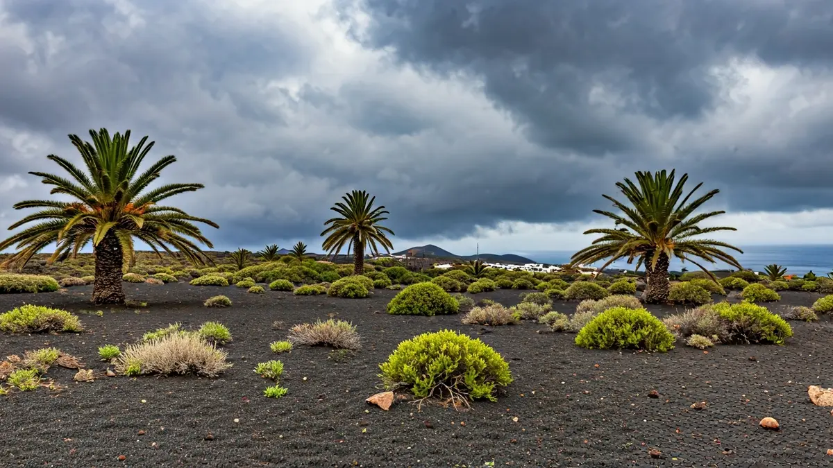
In Lanzarote and Fuerteventura, cloudy intervals are expected with a low probability of light and scattered rain later in the day, and a moderate decrease in maximum temperatures. For La Gomera, La Palma, and El Hierro, the forecast includes cloudy intervals with predominantly overcast skies in the north and interior, with occasional light to moderate rain, and strong winds in exposed areas.