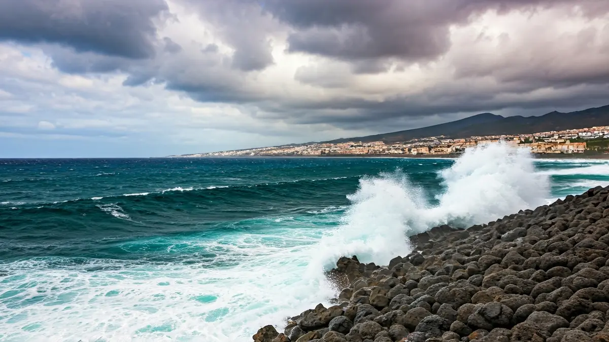
Updated forecasts indicate that the archipelago will face a day with winds that could reach 70 kilometers per hour and waves up to 5 meters high. The wind risk will begin in northern Tenerife at midnight, extending to the rest of the islands from 06:00 hours.
Maximum gusts of 70 km/h, from the north-northwest, will mainly affect high areas, summits, and the northeast extreme of Tenerife, as well as mid-altitudes and low areas of the west, southwest, and northeast of Gran Canaria. In Lanzarote and Fuerteventura, the interior of both islands will be most affected, while in La Palma, it will concentrate on high areas and eastern and western slopes. For La Gomera and El Hierro, alerts focus on high areas, summits, and southern mid-altitudes.
It is recommended to exercise extreme caution when traveling by road in summit areas and to avoid nautical activities or transit through coastal areas exposed to strong northwest swells.
The coastal situation will also be unstable, with Aemet activating a warning for coastal phenomena due to a combined northwest sea with waves between 4 and 5 meters. This warning will begin at 03:00 hours in Fuerteventura and La Palma, and will progressively activate between 05:00 and 08:00 hours in the rest of the islands. Additionally, north or northwest winds with force 7 (50 to 61 km/h) are expected, particularly impacting southwestern Tenerife and southeastern La Gomera. All warnings will remain active throughout Thursday.