The State Meteorological Agency (AEMET) predicts an especially warm day in the midlands and peaks of several islands, with thermometers exceeding usual coastal values. The thermal increase will be more pronounced in the higher areas and midlands of the larger islands, while coastal regions will see more limited changes.
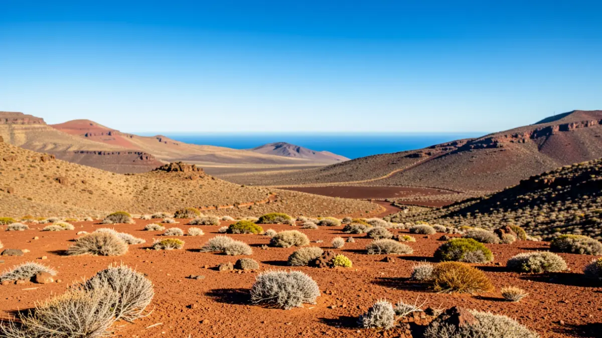
Gran Canaria is expected to register the highest temperatures, with forecasts ranging from 34 to 36 degrees in the west, south, and southeast slopes, and the possibility of locally exceeding 37 degrees in the Tejeda basin. In Fuerteventura, the southern interior and southeast coast could reach 32 degrees, with peaks of 34. In Tenerife, midlands facing east, south, and west might reach 30-32 degrees, with local highs of 34.
In addition to the high temperatures, AEMET warns of locally very strong wind gusts in exposed areas, particularly on coastal extremes and where the northeast flow accelerates.
Cloudiness will be concentrated in the north of the larger islands, although it is expected to decrease throughout the day. In Lanzarote and Fuerteventura, skies will clear during daylight hours. Elsewhere, northern slopes will remain cloudier, while peaks and other areas will enjoy clear or mostly clear skies. Low clouds are associated with the trade wind pattern.
Slight calima (Saharan dust) is expected in the high areas of Gran Canaria, potentially affecting visibility. Regarding the capitals, Las Palmas de Gran Canaria forecasts highs of 27 degrees, Arrecife of 31, Puerto del Rosario of 29, Santa Cruz de Tenerife of 31, San Sebastián de La Gomera of 27, Santa Cruz de La Palma of 26, and Valverde of 23 degrees, with the latter being the mildest.
Winds will blow from the northeast, generally moderate, but with strong intervals and very strong gusts on exposed coastlines and midland areas, especially in the latter half of the day. At sea, winds of force 4 or 5 and moderate to rough seas are expected, with a northerly swell.