The State Meteorological Agency (AEMET) has warned of a significant temperature increase in the Canary archipelago, where thermometers are forecast to reach values above 35ºC. This situation is part of a national context of anomalous heat for the start of autumn, with daytime records between 5 and 10 degrees above normal across much of Spain, and even more than 10 degrees in some northern areas.
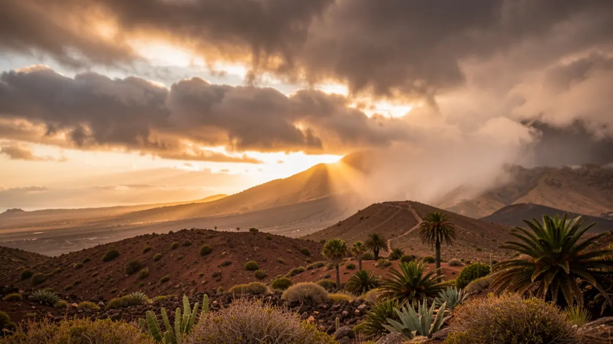
AEMET spokesperson Rubén del Campo indicated that the astronomical autumn, officially beginning on the 23rd, will start with summer-like weather. In the Canary Islands, the thermal rise will be particularly pronounced, affecting both southern Gran Canaria and Fuerteventura, which will approach 35ºC. Skies are expected to remain mostly clear, with scarce rainfall across most of the national territory.
For Monday, a generalized thermal increase is expected in the north and east of the peninsula, the Balearic Islands, and notably in the Canary Islands. Tuesday and Wednesday will show little variation, with a slight decrease in the north of the peninsula on Tuesday and an increase in the south, while temperatures in the Canary Islands will continue to rise. Maximum temperatures on the mainland will range between 32 and 36ºC in various regions, exceeding 36ºC in valleys such as the Tajo, Guadiana, and Guadalquivir.
Tropical nights, with minimums not dropping below 20ºC, will be recorded on the Mediterranean coast and southern areas during Thursday and Friday. In the Canary Islands, thermometers will be above 32-34ºC in most of the archipelago, and will exceed 34ºC in the south of the islands. Towards the weekend, a front is expected to approach the northwest of the peninsula, which could lead to a slight general decrease in temperatures, although they will remain high for the season.