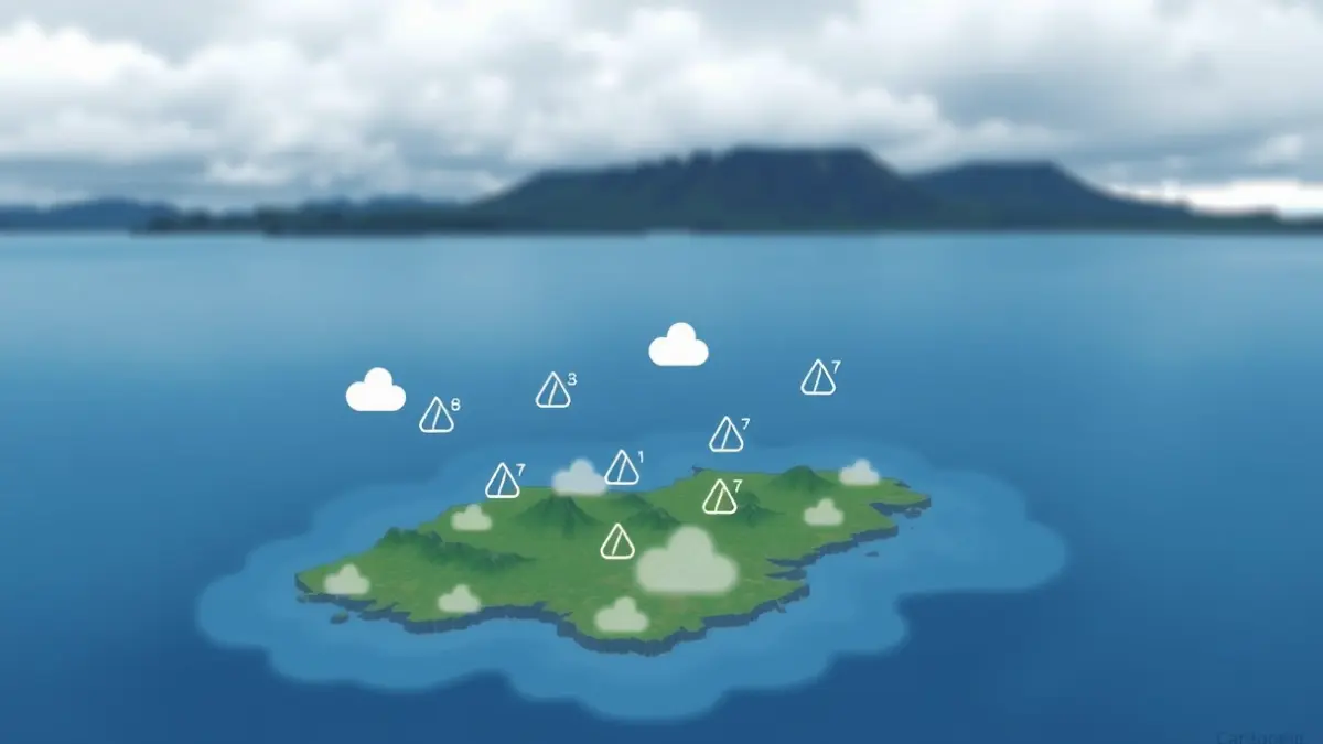
According to the forecast, the days will be characterized by cloudy skies with a likelihood of weak and occasional precipitation throughout the archipelago. Temperatures are expected to decrease, and it is anticipated that they will not exceed 25 degrees Celsius on any of the islands.
For Wednesday, generally cloudy skies are predicted with a chance of light rainfall inland during the afternoon, less likely in Lanzarote and Fuerteventura. Temperatures will remain stable or show slight decreases, and winds will be light, with sea breezes prevailing along the coasts from midday.
Thursday might bring a slight improvement, starting with cloudy intervals that will increase to overcast in inland areas by the afternoon, with a low probability of weak precipitation on the central islands. The most notable change will be in maximum temperatures, which will rise slightly, while minimums will show little variation.
In Gran Canaria, cloudy skies are expected in the north with a low probability of weak precipitation, more likely during nighttime hours. In other areas, there will be cloudy intervals that will become more compact inland and in the south during the afternoon, when light rainfall cannot be ruled out. Maximum temperatures will decrease slightly on the southern slope and increase in the peaks, with stable minimums.