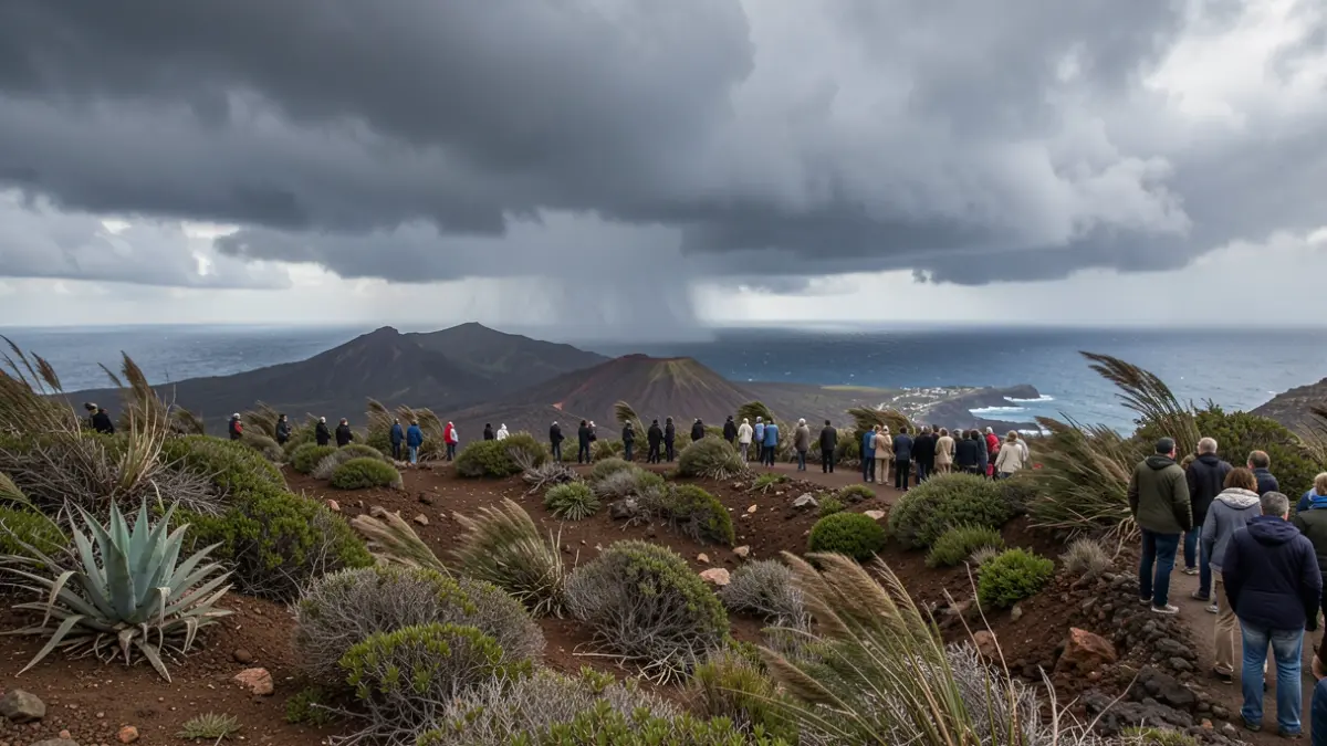
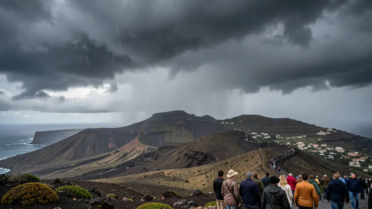
This measure is based on predictions from AEMET and the application of the Specific Emergency Plan of the Canary Islands for Adverse Meteorological Phenomena Risks (PEFMA). The alert is due to the passage of the high-impact storm CHARLES, which will affect the archipelago starting from the early hours of Wednesday, November 11th.
The most intense rainfall is expected in La Palma, with accumulations potentially exceeding 30 mm per hour and 60 mm in twelve hours. In El Hierro, La Gomera, and Tenerife, up to 20 mm per hour are forecast, while Gran Canaria, Fuerteventura, and Lanzarote could locally register up to 15 mm per hour, albeit with greater uncertainty.
Rainfall distribution and intensity may vary significantly due to interaction with the island's terrain. Locally intense, short-duration downpours, which could cause water accumulation and surface runoff, are not ruled out.
The Directorate General of Emergencies will continue to monitor the situation and update the declaration if meteorological conditions necessitate it.