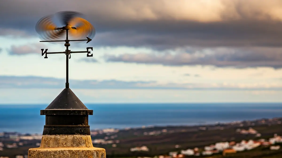
According to AEMET's forecasts, the trade winds will blow with considerable intensity, generating very strong gusts in various areas of Tenerife. Despite the instability, the probability of precipitation remains low, and any rainfall is expected to be weak and occasional.
Regarding cloud cover, cloudy skies are expected in the north of the island during the early and late hours of the day, with cloudy intervals throughout the rest of the day. The peaks and slopes of Tenerife, however, will enjoy mostly clear skies. There is a slight chance of weak rain, especially in the northern mid-slopes during the morning.
Minimum temperatures will remain stable, but maximum temperatures will experience a slight increase in inland and mid-slope areas. This rise could be more pronounced on the southern slope of the island. In the capital, Santa Cruz de Tenerife, temperatures will range between 17 and 22 degrees Celsius.
Wind will be the most prominent meteorological factor, blowing from the northeast with moderate intensity, but with periods of strong and very intense gusts in the northwest, the southeast slope, and high-altitude areas, especially during the early hours of Monday.
In the rest of the Canary Archipelago, the situation will be similar, with cloudy intervals in the north of the islands and clearer skies in the south. In Gran Canaria, clouds are expected in the north with a low probability of weak rain, while the south will remain clear. La Palma, La Gomera, and El Hierro will also have cloudy intervals in the north with possible weak rain in the early hours, tending to improve during the day. Lanzarote and Fuerteventura will start with cloudiness, giving way to partly cloudy skies, with a slight increase in maximum temperatures inland.
The northeast wind will affect all islands with force, with very strong gusts recorded in peaks, exposed slopes, and coastal areas, particularly in Gran Canaria and the western islands. The maritime situation will be adverse, with winds of force 5 to 6, locally more intense, generating rough seas, and northerly or northwesterly swell reaching between 2 and 4 meters from the afternoon.