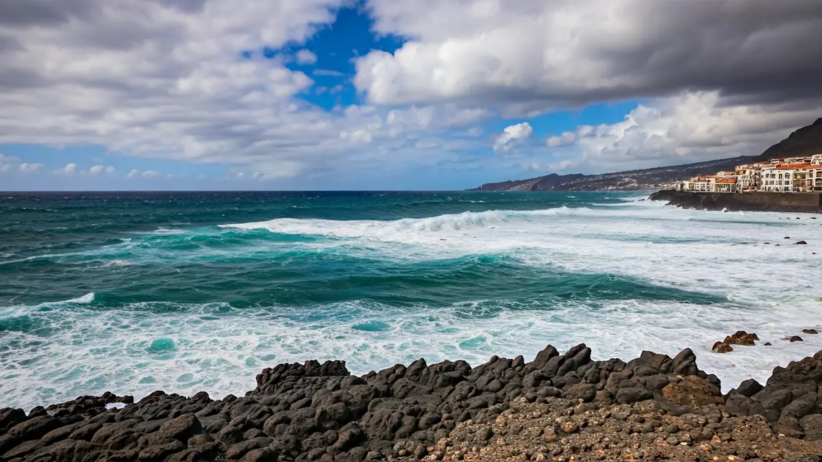
The State Meteorological Agency (Aemet) has activated a yellow warning for wind in the metropolitan area of Tenerife, effective from 06:00 to 00:00 on Thursday, with maximum gusts of 70 kilometers per hour. Additionally, the Government of Canarias has declared a pre-alert for coastal phenomena across the entire archipelago, starting from Tuesday night.
Northwesterly winds will particularly affect high and summit areas, the dorsal ridge, the northeast extreme, the southern slope of the metropolitan area, the western extreme, and the southwest slope. This will be compounded by a significant deterioration in sea conditions, with combined sea from the north or northwest generating waves of 4 to 5 meters. The channel between Tenerife and La Gomera will experience strong winds, especially in its southern part, where they could reach force 7 and occasionally force 8.
This shift in weather conditions follows an already unstable Wednesday. For Tuesday, Aemet's forecast for Tenerife indicated cloudy or overcast skies in the north and interior, with occasional light or locally moderate rainfall, cloudy intervals elsewhere on the island, a drop in temperatures, and light frosts in the Teide area. During Wednesday, strong northerly wind intervals were also expected, with potentially very intense gusts in the dorsal ridge, northeast mid-slopes, northwest extreme, and central peaks.
The most critical change is anticipated as Thursday progresses, with increasing wind intensity and worsening sea conditions in Tenerife's most exposed areas. In the capital, Santa Cruz, the forecast also points to a very windy day, with abundant cloud cover and some showers. This scenario suggests a start to Thursday with more adverse weather conditions than previous days, particularly in summits, exposed mid-slopes, and coastal areas open to the north and northwest.