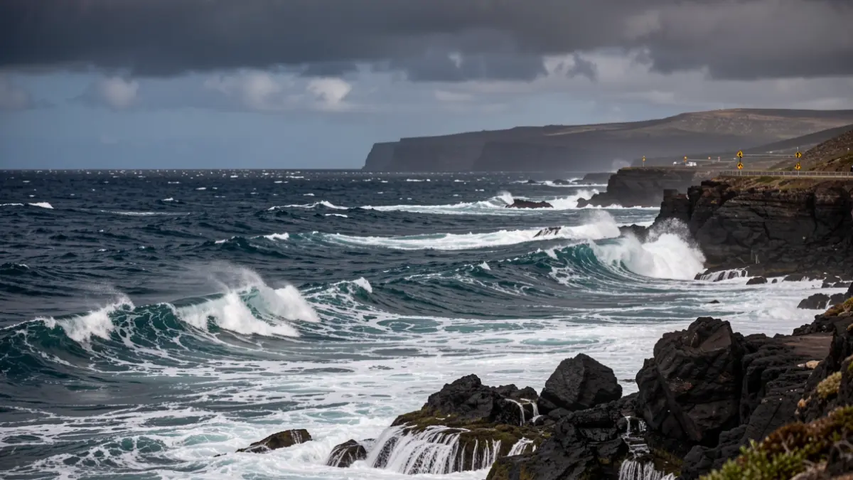
The State Meteorological Agency (AEMET) has issued yellow alerts for Tenerife and other islands in the Canary archipelago, warning of strong wind gusts and rough sea conditions. Forecasts indicate that wind gusts could exceed 80 kilometers per hour in some exposed areas.
Coastal phenomenon warnings affect the east, south, and west of Tenerife this Tuesday, as well as Gran Canaria, La Palma, La Gomera, and El Hierro. For Tenerife, the alert will be active from 4:00 PM on Tuesday, June 2nd, until 2:59 AM on Wednesday, June 3rd, with northeasterly winds of force 7.
For Thursday, June 4th, wind gusts of up to 70 km/h are expected on several islands, with the possibility of locally exceeding 80 km/h. These northeasterly gusts will primarily affect the peaks and southeastern slopes of the mountainous islands, as well as specific areas of Tenerife, Gran Canaria, La Palma, Lanzarote, La Gomera, and El Hierro.
AEMET details that the most exposed areas to these weather conditions will be the channels between islands, open coastal areas facing the northeast, the peaks, and certain slopes of the mountainous islands. Caution is advised in coastal areas, breakwaters, promenades, and exposed locations, as well as securing objects on balconies and terraces.
On land, caution is recommended when walking near elements that could be displaced by the wind, such as trees or scaffolding. On the road, side gusts can particularly affect high-sided vehicles and motorcycles, so drivers are urged to proceed with attention and adjust their speed.