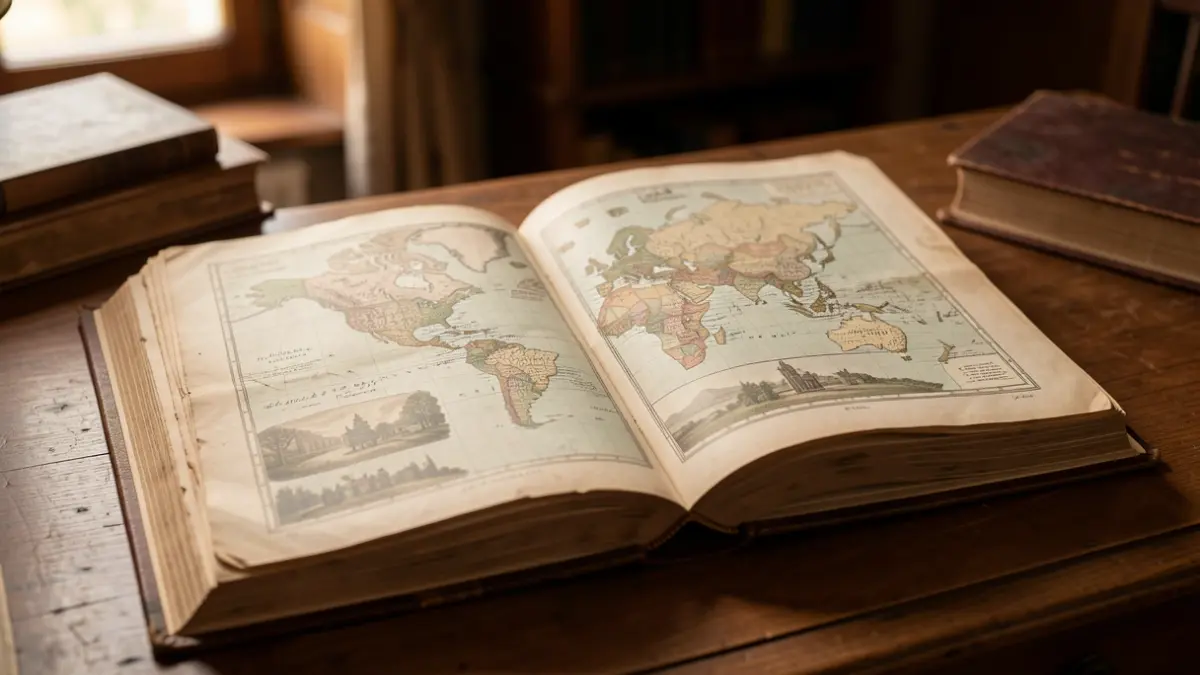
Long before we could explore the planet from a screen, we could begin to discover it by turning the pages of a book. In 1901, the work "Geografía para niños" by Esteban Paluzie y Cantalozella, published in Barcelona, introduced young readers to continents, countries, landscapes, and cities through age-appropriate texts, maps, and numerous illustrations.
Today, this volume is part of the old collection at the Center for Documentation of Canarias and America (CEDOCAM). It allows us to observe not only how geography was taught over a century ago but also how textbooks, schooling, and our worldview have changed.
The purpose of this work was to make an abstract and potentially difficult subject accessible. Geography required memorizing names, locating territories, and understanding distances that were hard to experience firsthand. Early manuals combined brief explanations with visual resources.
The analyzed book contains 46 maps and 170 vignettes, functioning not just as text but also as an atlas, a reference notebook, and a memory aid. An old school manual, seemingly modest, holds many stories, reflecting the content deemed important, teaching methods, language used, and the image of the world conveyed to new generations.
More than a hundred years later, "Geografía para niños" still has something to tell us. It reminds us that learning geography has always been a way to expand the limits of experience, evolving from paper maps and charts to digital cartography and interactive tools. While the means, speed, and volume of information have changed, the curiosity to know what lies beyond our immediate surroundings remains.
Therefore, each preserved volume in our old collection deserves careful attention. Within its covers lies not only the geography of 1901 but also the history of those who taught and learned it, from an era when a book could literally contain an entire world.