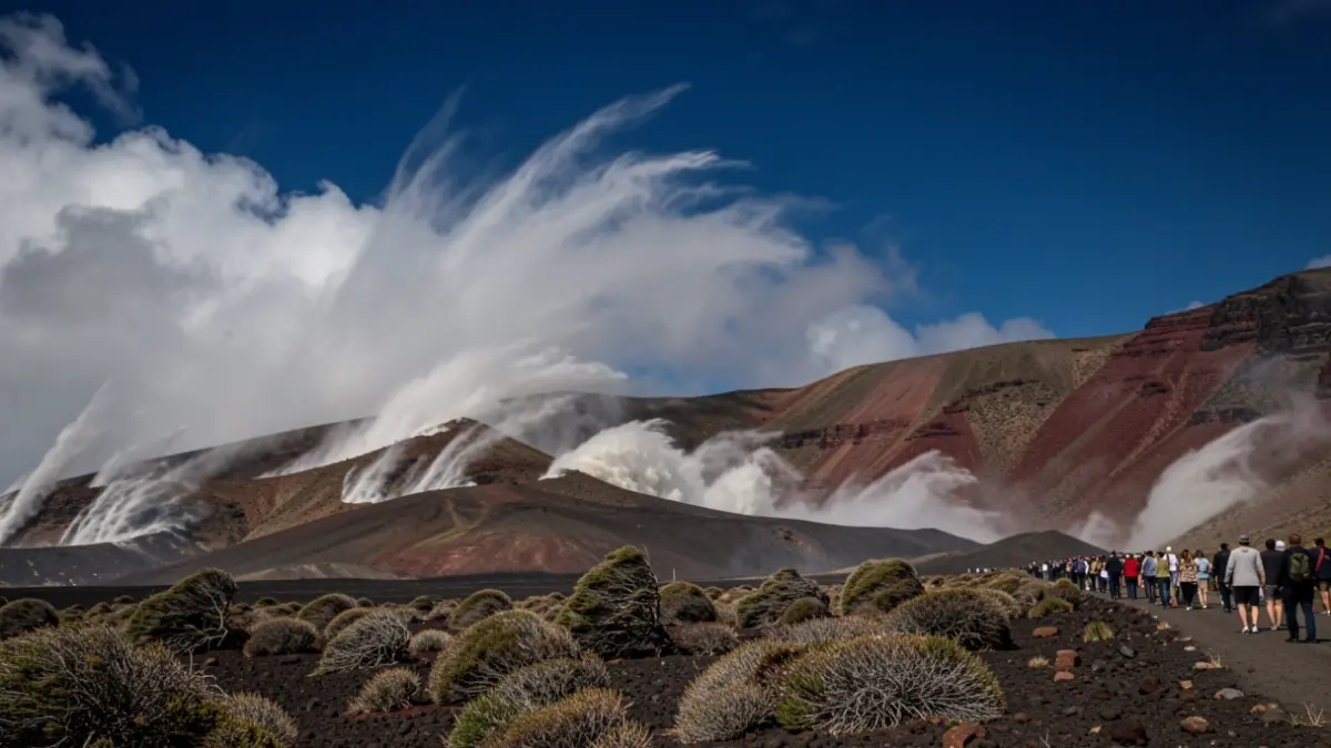
Northeasterly winds will blow moderately to strongly, with occasional very strong gusts expected in the high areas of Gran Canaria (Tirajana basin), Tenerife (western slopes of the central peaks), and La Palma (El Paso area and western slopes of Cumbre Vieja). In these areas, gusts could reach between 70 and 80 kilometers per hour, and even locally up to 90 kilometers per hour.
Gusts are also anticipated on the southeast and northwest slopes of all mountainous islands. In the interior of the southern half of Lanzarote, gusts will be less probable and of lower intensity. In the southern half of Fuerteventura, gusts of lower intensity are also expected in inland areas.
The General Directorate of Emergencies urges the public to follow the available self-protection advice to prevent risks associated with these adverse meteorological phenomena.