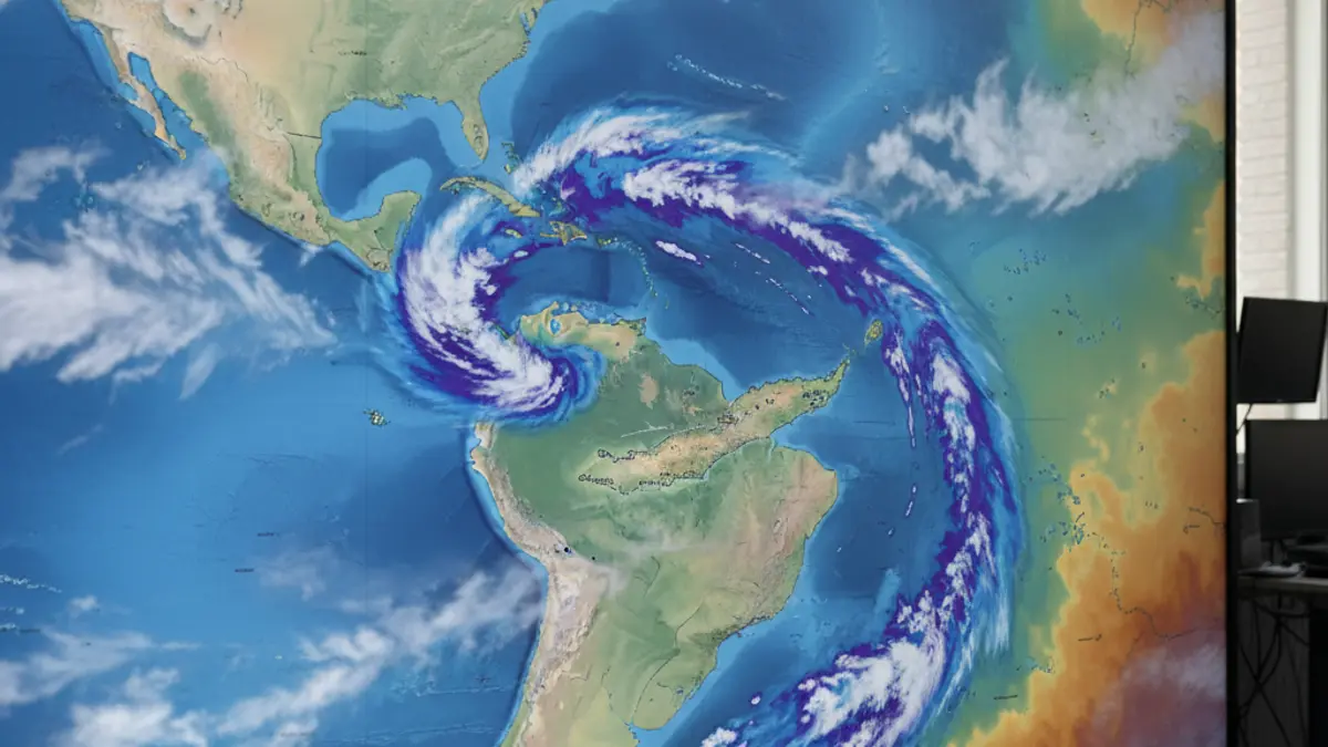
According to Aemet's forecasts, Monday will see partly cloudy skies, becoming cloudier in the afternoon in the northern and eastern parts of the more mountainous islands, where light and scattered rainfall could occur. Maximum temperatures are expected to rise, while winds will generally be light.
“"The cold weather for this time of year will continue over the next few days, and it could even get colder towards the end of next week."
Winds will be variable in the eastern province and from the northwest in the western province. In the central peaks of Tenerife, locally strong southwest winds are expected, with occasional very strong gusts not ruled out.
Regarding sea conditions, winds are forecast from the west or northwest at force 2 to 4, and variable at force 1 to 3, with rippled or choppy seas. Southwest swell with waves of 1 meter is expected in the western islands, and northwest swell with waves of 2 to 3 meters in the eastern islands. Occasional showers and fair visibility are also anticipated.