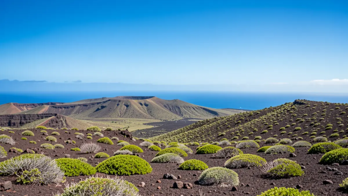
The State Meteorological Agency (Aemet) has confirmed the entry of a warm air mass that will affect the archipelago, particularly the eastern islands and the northern and western slopes of the higher islands. This meteorological phenomenon will bring mostly cloudy skies on Wednesday, with a chance of weak and scattered rain in mid-altitudes, although temperatures will remain stable.
From Thursday, light haze is expected at high altitudes in the eastern province, along with a rise in maximum temperatures in the eastern islands, especially in inland areas. The trade winds, with strong gusts, will be predominant on the southeast and northwest coasts, while in the summits, the wind will remain light from the east.
“"In the coming days, we will see the cloudiness gradually disappear from east to west, and temperatures will rise, starting in high areas and then also on the coasts."
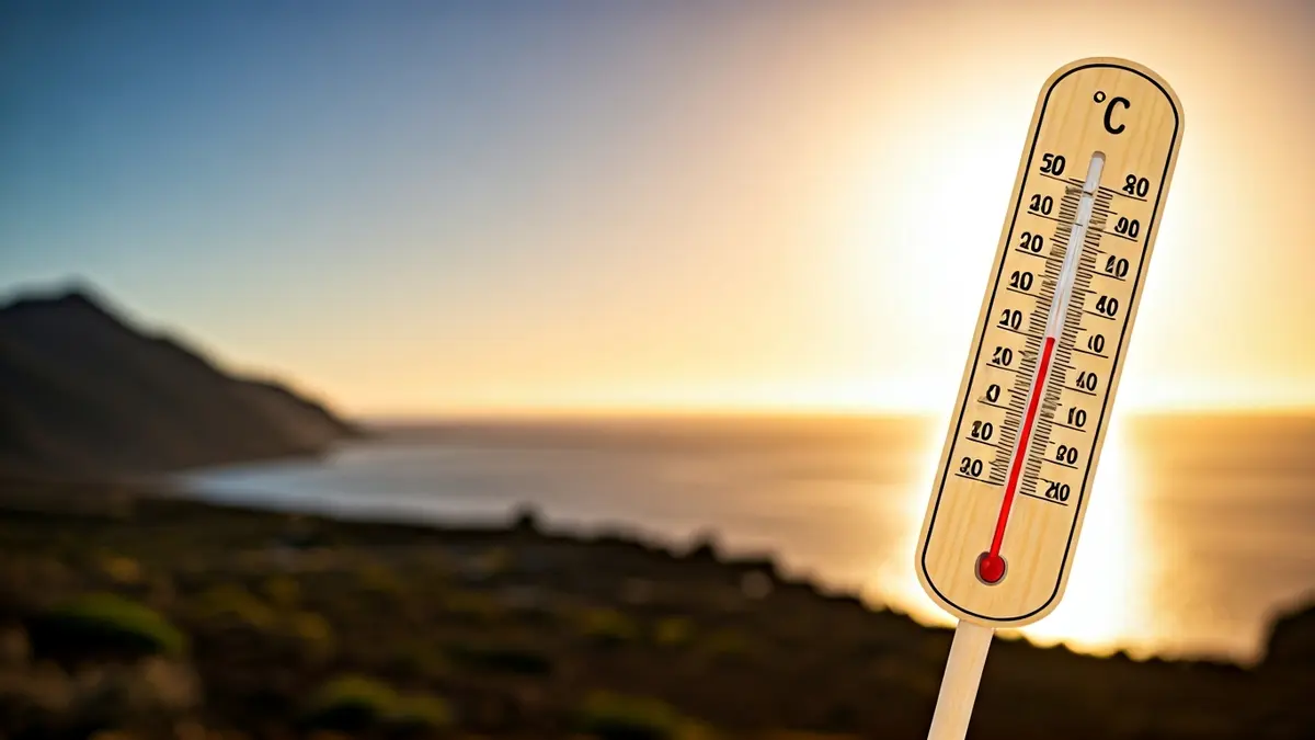
The weekend will mark the beginning of a more pronounced thermal ascent, with temperatures exceeding 30 degrees Celsius in numerous areas of the province of Las Palmas. In the south and west of Tenerife, thermometers could reach 34 degrees Celsius. The haze will become denser, mainly affecting the mid-altitudes and summits of the islands.
Specific forecasts for Wednesday indicate cloudy intervals in Lanzarote and Fuerteventura, with light haze in the late hours and maximum temperatures of 23 degrees Celsius in Arrecife and Puerto del Rosario. In Gran Canaria and Tenerife, cloudy skies are expected in the north with possible weak rains, and highs of 21 degrees Celsius in Las Palmas de Gran Canaria and 22 degrees Celsius in Santa Cruz de Tenerife. La Gomera, La Palma, and El Hierro will also experience cloudy skies in their northern and eastern areas, with temperatures ranging between 15 and 22 degrees Celsius, and trade winds with strong gusts on some slopes.