While the beginning of the week has seen mostly clear skies, the situation is expected to evolve towards greater instability. On Monday and Tuesday, increasing cloud cover is anticipated from midday, particularly in the northern and eastern parts of the higher relief islands, where some weak and scattered rainfall may occur.
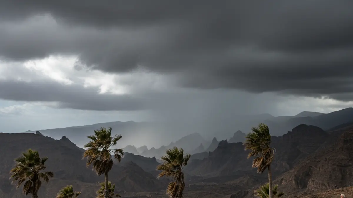
Thursday, May 14, is set to be the key day for the onset of precipitation. The combination of a DANA (Isolated Depression at High Levels) and the arrival of a cooler, more unstable trade wind will cause skies to become more persistently overcast in the northern mountainous islands. Aemet predicts weak, scattered, and occasional rains in these areas, with the possibility of them extending to other island slopes.
This increase in instability will be accompanied by a slight drop in temperatures. Maximums in Santa Cruz de Tenerife and Las Palmas de Gran Canaria are expected to fall to 22-23°C by the end of the week, placing them below typical values for mid-May.
One of the most prominent phenomena during this period will be the wind. In the central peaks of Tenerife, southwesterly winds are expected to blow with intensity, potentially being locally strong with occasional very strong gusts throughout Monday. From Wednesday and Thursday, the wind will shift to a northerly and northeasterly component, strengthening with strong intervals on the eastern and northwestern slopes of the higher relief islands. This "fresh trade wind" configuration will dominate the final stretch of the week, leading to a noticeably more humid and cooler environment in the mid-altitudes.