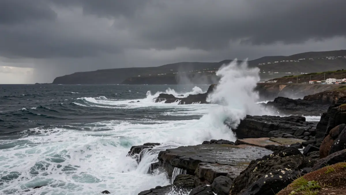
The Canary Islands will experience predominantly cloudy skies this Monday, especially in areas with higher relief, with a low probability of occasional drizzles during the early hours. Aemet also warns of very strong wind gusts in the southeast and northwest slopes.
From mid-afternoon, yellow alerts for adverse coastal phenomena will be activated in Gran Canaria, El Hierro, and Tenerife. Temperatures are expected to remain without significant changes, with a slight upward trend.
Looking towards the middle of the week, meteorological stability is expected, although cloudy skies will persist in the higher relief islands with the possibility of light drizzles. In the rest of the archipelago, skies will be mostly little cloudy or clear, accompanied by moderate winds with strong intervals and occasionally very strong gusts in the southeast and northwest slopes.
Long-term forecasts point to a variable thermal evolution between June 8 and 14, with conditions somewhat cooler than normal for this time of year in the Canary Islands, contrasting with the Peninsula, where values above the usual average are expected.
Between June 15 and 21, temperatures are expected to remain higher than usual, with greater uncertainty regarding rainfall. The week of June 22 to 28 presents more diffuse forecasts, but the possibility of high temperatures and isolated storms remains.
For this Monday, the forecast by island details cloudy skies in the north of Lanzarote and Fuerteventura, with clear spells in the afternoon. In Gran Canaria and Tenerife, cloudy skies will be concentrated below 900-1000 meters in the north, with occasional drizzles and the possibility of reaching 30º C in south-facing midlands in Gran Canaria. La Gomera, La Palma, and El Hierro will also have cloudy skies in the north and east, with temperatures showing little significant change and moderate trade winds with strong gusts.