The State Meteorological Agency (Aemet) has forecast a progressive thermal increase across the archipelago, culminating this weekend with values more typical of June. This change follows the departure of a trough that brought winter-like conditions, such as the 4.1 degrees recorded in Cruz de Tejeda (Gran Canaria) on April 8 and 4.9 degrees on April 13.
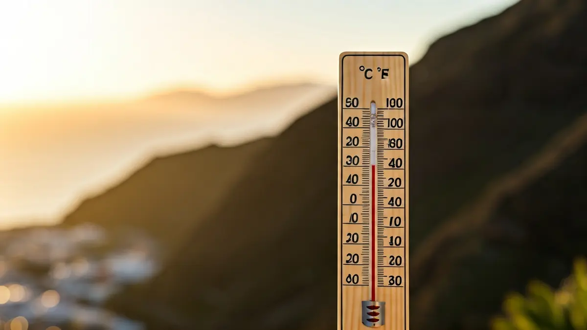
A warm air mass will settle over the territory, causing an unusual heat episode for this time of year. Temperatures are expected to exceed 30 degrees in many areas and reach 34 degrees in specific locations, particularly in the eastern islands and the south and west of Tenerife.
The temperature rise will be most noticeable from Friday, April 17, and throughout the weekend, with highs resembling those of June. This increase will be widespread, though with variations: more moderate in coastal areas, but significant in mid-altitudes and summits, and very high inland in Lanzarote and Fuerteventura.
In addition to the heat, the arrival of calima is expected, a common phenomenon in the Canary Islands associated with airborne dust from the Sahara. Initially, it will be light, mainly affecting high areas of the eastern province, but it will intensify from Friday, impacting mid-altitudes and summits of the central islands, as well as inland Lanzarote and Fuerteventura.
Thursday, April 16, will see stable weather with a slight thermal rise. On Friday, April 17, the moderate temperature increase will continue, and calima will become more prominent. Saturday, April 18, will be the hottest day, with highs exceeding 30 degrees in the eastern province and in the south and west of Tenerife, potentially surpassing 34 degrees in some areas.