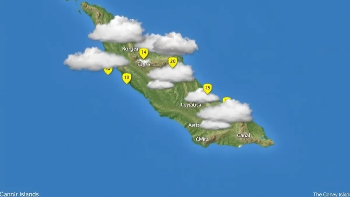
According to the official body, the diurnal evolution could bring weak and occasional precipitation to strategic points of the Archipelago, especially in the interior areas of the higher relief islands.
In Tenerife, La Palma, La Gomera, and El Hierro, the day will begin with clear skies or high clouds. However, the increase in evolving cloudiness during the central hours of the day will change the outlook. Some weak, scattered, and occasional rain cannot be ruled out in the mid-altitudes and high areas.
In the province of Santa Cruz de Tenerife, temperatures will remain stable, with maximums reaching 22 degrees Celsius in the capital of Tenerife and minimums dropping to 11 degrees Celsius in Valverde.
Meanwhile, Gran Canaria will present intervals of high clouds with evolving cloudiness inland during midday. On this island, the Aemet highlights a slight rise in maximum temperatures, which will be more noticeable in the summit areas. Las Palmas de Gran Canaria will fluctuate between a minimum of 17 and a maximum of 21 degrees Celsius.
In Lanzarote and Fuerteventura, intervals of high clouds will prevail. As in Gran Canaria, maximum temperatures are expected to begin a slight ascent. In Arrecife and Puerto del Rosario, values will range between 14 and 22 degrees Celsius. The wind on these islands will be light from the northeast, with moderate intervals during the second half of the day.
The wind regime will generally be light from the northeast, conditioned by coastal breezes. However, moderate intervals are expected on the southwest and southeast coasts at the end of the day. A relevant detail is found in the central peaks of Tenerife, where the wind will blow moderately from the southwest component.
Regarding maritime conditions, the Aemet announces variable wind of force 1 to 3. In the western islands, the wind force from the south component could reach grade 3, while in the eastern islands it will strengthen to northeast force 4. Northwesterly swell will persist with waves ranging between 1 and 2 meters in height, with predominantly rippled or choppy seas on most of the Canarian coasts.