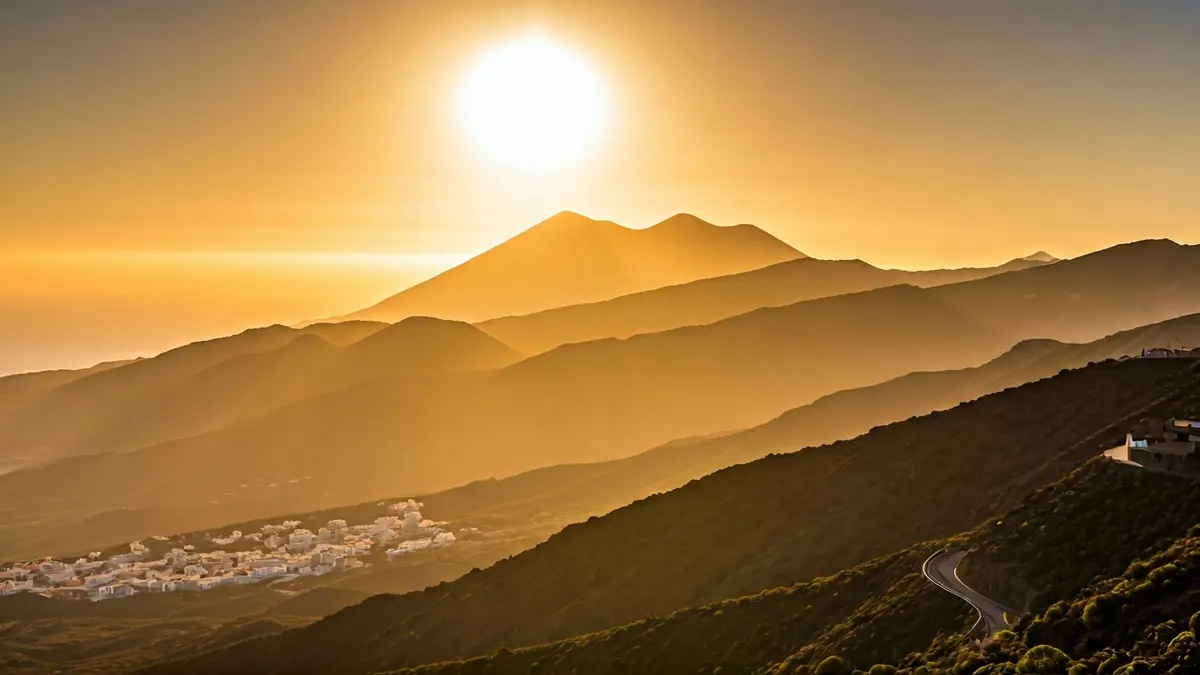
Starting Thursday, a light calima (dust haze) is expected in the high areas of the eastern province and Tenerife, which will extend to the rest of the archipelago. This phenomenon will coincide with a moderate rise in temperatures, especially inland. Winds will blow from the northeast in low areas, with occasional strong gusts on the southeast and northwest slopes.
For Friday, high cloudiness will be widespread, with intervals of low clouds during the early morning in Lanzarote, Fuerteventura, and the north of the mountainous islands. Calima will mainly affect mid-altitudes and summits. Minimum temperatures will remain stable or slightly increase, while maximums will rise slightly on the coasts and moderately at mid-altitudes and summits, potentially exceeding 30ºC inland in Fuerteventura and the southern mid-altitudes of Gran Canaria.
On Saturday, the calima will be particularly significant at mid-altitudes and summits, with a slight to moderate temperature increase, more noticeable on the northern and western slopes. Temperatures are expected to exceed 30ºC inland in the eastern islands, as well as in the south of Gran Canaria and Tenerife, with the possibility of reaching 34ºC inland in Fuerteventura and the southern mid-altitudes of Gran Canaria. Meteored models indicate that on Sunday, temperatures could exceed 35ºC, with tropical nights above 25ºC.
“"This influx of warm air is expected to be accompanied by calima, and temperature warnings are likely to be issued for the easternmost islands, with the episode subsiding from Monday onwards."
This episode of heat and calima, which could trigger high-temperature warnings in the eastern islands, is expected to subside from Monday. Detailed forecasts by island indicate variations in cloudiness, wind, and maximum and minimum temperatures, with Arrecife expecting 16-26ºC, Puerto del Rosario 15-25ºC, Las Palmas de Gran Canaria 17-21ºC, Santa Cruz de Tenerife 18-23ºC, San Sebastián de La Gomera 18-23ºC, Santa Cruz de La Palma 16-22ºC, and Valverde 11-15ºC.