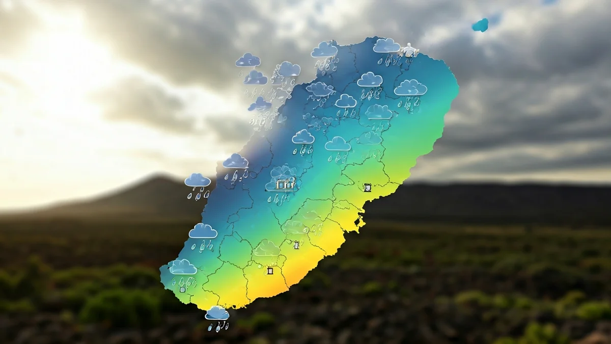
Following the Therese storm and a brief episode of haze, the archipelago is now under the influence of a DANA (isolated upper-level depression) which, although not expected to be very intense, has already started to bring precipitation to several islands. Aemet does not rule out the appearance of occasional storms, especially in the higher relief islands during the first half of Saturday.
For Saturday, the forecast details cloudy skies in the mountainous islands, with isolated and occasional rainfall, more likely in the morning. In Lanzarote and Fuerteventura, cloudy intervals are expected with a low probability of precipitation. Minimum temperatures will remain stable, while maximums will experience a slight decrease, more noticeable in mid-altitudes and peaks. The wind will be light and variable in direction.
“"Some occasional storms are not ruled out in the higher relief islands during the first half of the day."
On Sunday, the eastern islands will have cloudy intervals with a predominance of medium and high clouds. In the rest of the archipelago, generally clear skies are expected with evolving intervals in the afternoon, not ruling out scattered and occasional rains in the western islands, and tending to cloudy in low northern areas by the end of the day. Temperatures will show little change in the westernmost islands and a slight increase in the rest, more pronounced in the maximums of south and west-facing coasts in the case of Fuerteventura and Lanzarote. Light northerly wind in low areas, turning southerly in peaks. It will be more intense on the east and northwest coasts of the mountainous islands.
Looking ahead to Monday, generally clear skies are expected, except for a predominance of cloudy intervals on the northern slopes of the mountainous islands during the early and late hours of the day and inland during the afternoon. Lanzarote and Fuerteventura will have mostly clear skies, apart from some high cloud intervals during the day. Temperatures will show little change or slight decreases in the maximums in the easternmost islands. The wind will be light from the northeast, with sea breezes on the southeast coasts.
For Tuesday, the forecast indicates generally cloudy intervals, becoming cloudy on the northern slopes of the mountainous islands, where weak precipitation is expected and could be persistent. There is a low probability of weak and occasional precipitation in the easternmost islands. Minimum temperatures will show little change, and maximums will decrease slightly, more sharply inland. The wind will be moderate from the northwest, shifting to northeast during the day, with some strong gusts on the southeast and northwest slopes during the second half of the day.