Throughout history, this name has appeared in documents and maps with various spellings such as Guipuy, Gugui, Guigui, Güigüí, or Guguy. These variations not only reflect possible errors but also the attempts of scribes to capture a sound that did not easily adapt to Spanish. The form Güigüí, with its syllabic repetition, is the most widespread and popular.
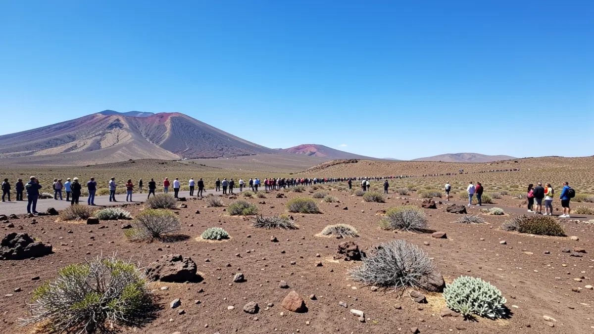
However, the Canarian Academy of Language advocates for the form Guguy as the traditional one for the area, despite being less known. This western corner of Gran Canaria, characterized by its isolation and rugged landscape, has been a challenge for fixing its name, contributing to the loss of its possible original meaning.
The philologist Maximiano Trapero, an expert in Canarian toponymy, has investigated the history of Güigüí. The earliest documented references date back to the 18th century, with a Guipuy mentioned in 1740 by the geographer Antonio Riviere. A census from 1820 already records Güigüí with eight families, confirming a documented human presence in the area.
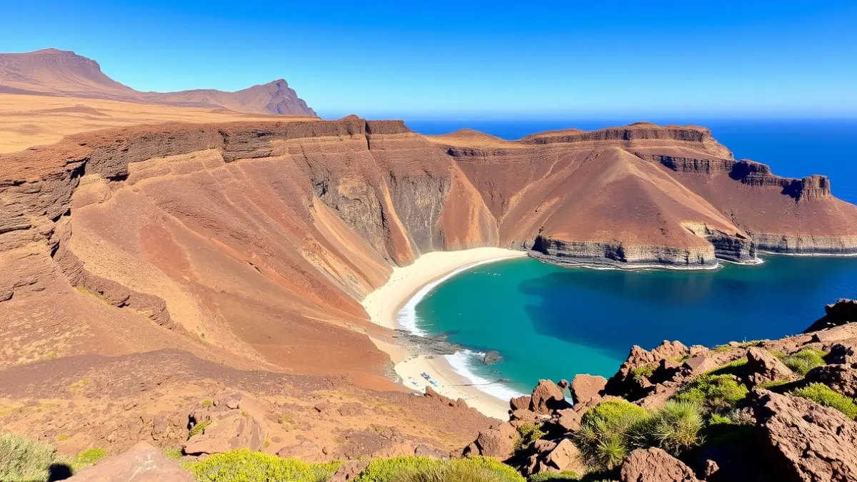
It is important to note that the historical Güigüí refers to a vast area of the massif between La Aldea de San Nicolás and Tasartico, not just the current beach. Although the connection to the pre-Hispanic world is a tempting hypothesis due to its non-Spanish sound, there is no conclusive evidence to confirm it. The identification with an Arerehuy from Bernáldez's list prior to the Castilian conquest is highly doubtful due to a lack of phonetic evidence and stable settlements.
An additional clue is the existence of another lesser-known Güigüí in Agaete, in the El Risco area, also associated with similar ravines and geographical features. This repetition suggests that Güigüí might have originally been an appellation for a type of terrain or geographical feature, rather than a proper name exclusive to one place. The uncertainty about its origin and meaning persists, adding an aura of mystery to this emblematic Canarian landscape.