The Directorate General of Emergencies has issued this safety measure due to the anticipated worsening of meteorological conditions. The autonomous community is thus facing two simultaneous risk situations, following the activation of the high wave alert last Tuesday.
The regional executive has decreed these alerts based on reports from the State Meteorological Agency (Aemet) and in accordance with the Canary Islands Specific Emergency Plan for Adverse Meteorological Phenomena Risks. Additionally, the preventive alert for forest fire risk remains in effect for the five western islands until September.
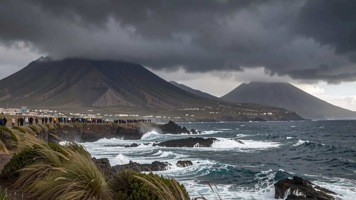
Atmospheric instability will affect the entire Canary territory in the coming days, with moderate to strong northeasterly winds, particularly in summit areas and on the southeastern slopes of the mountainous islands. Maximum gusts of 70 kilometers per hour are expected, potentially exceeding 80 km/h in local measurements, also affecting Lanzarote and Fuerteventura, especially their southern municipalities.
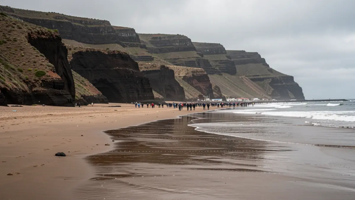
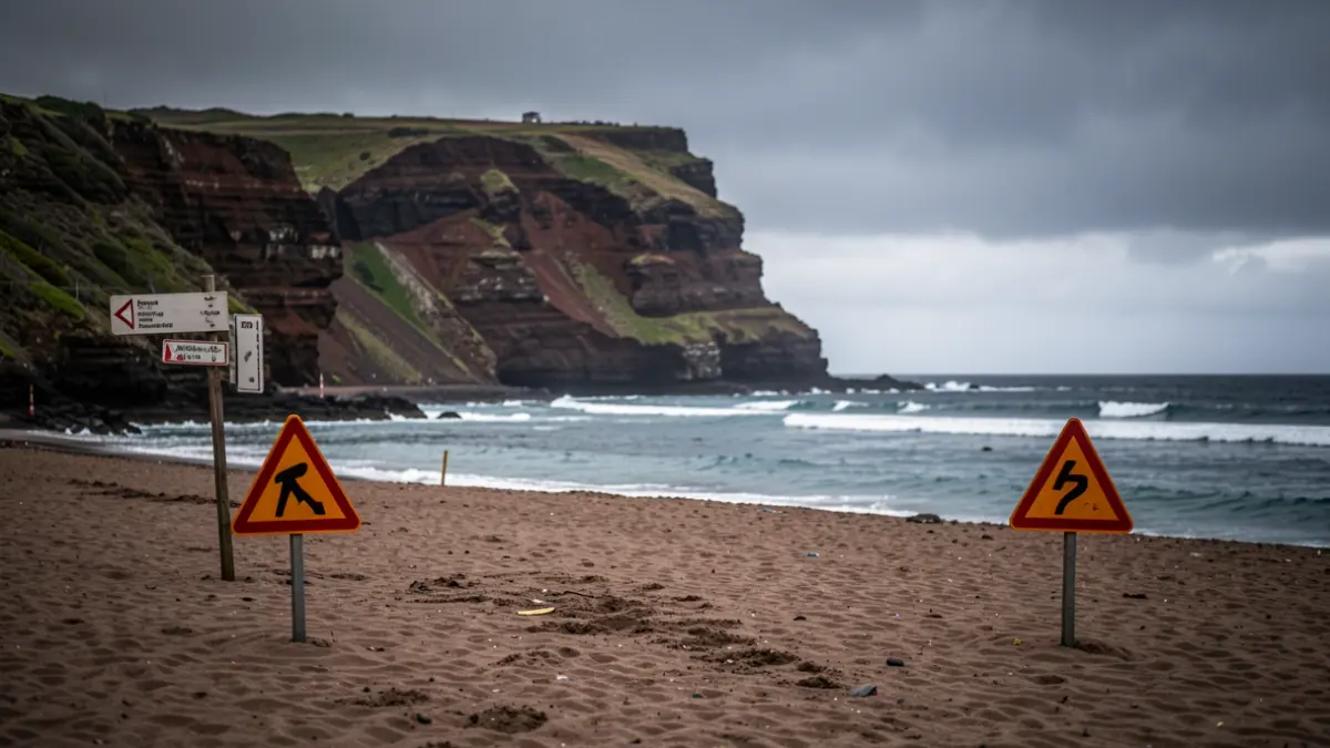
Sea conditions are complicating port activities and bathing along the coastlines of five islands. Wind intensity at sea is generating force seven areas on the Beaufort scale, with currents reaching stable speeds of 50 to 61 kilometers per hour. This situation is concentrated in the southeast and northwest of La Palma, the north of El Hierro, and the west of La Gomera, as well as the southeast and west of Gran Canaria and the entire southeastern band of Tenerife.
The tide coefficient, standing at 66 units at the start of the maritime storm, will gradually decrease over the weekend. Rescue services are urging the public to exercise maximum caution on beaches due to the danger posed by high tides, with peak levels expected this Wednesday and Thursday.