This decision is based on information provided by the State Meteorological Agency and other available sources, and is implemented under the Specific Emergency Plan of the Canary Islands for Risks of Adverse Meteorological Phenomena (PEFMA). The territorial alert covers the entire Autonomous Community of the Canary Islands.
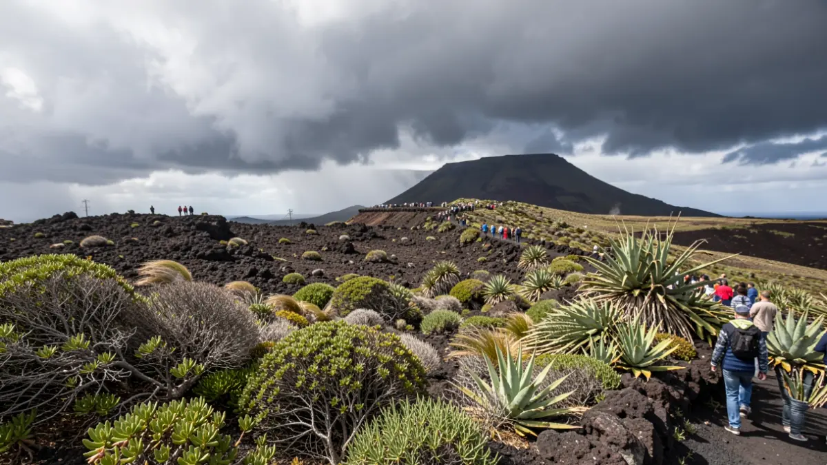
Maximum gusts of 80 km/h are expected, primarily affecting the southeast and west-facing slopes, from coastal areas to mid-altitudes. In Lanzarote and Fuerteventura, moderate northeasterly winds are anticipated with strong intervals in the interior and south of the islands, where very strong gusts cannot be ruled out from the afternoon onwards. In Gran Canaria, winds will be moderate from the northeast, with strong intervals and very strong gusts on the southeast and west slopes from the afternoon, and moderate easterly winds on the summits.
In Tenerife, winds will be moderate from the northeast, intensifying during the second half of the day in the westernmost part and the southeastern coast, with the possibility of some isolated very strong gusts late in the day. On the summits, winds will be light to moderate from the east. For La Gomera, strong and very strong gusts are announced on the southeast and west slopes from the afternoon. In El Hierro and La Palma, moderate northeasterly winds may present strong intervals in low-lying areas of the southeast and the westernmost part, with very strong gusts possible at the end of the day.
The Directorate General of Emergencies advises the public to follow the self-protection advice available on its website.