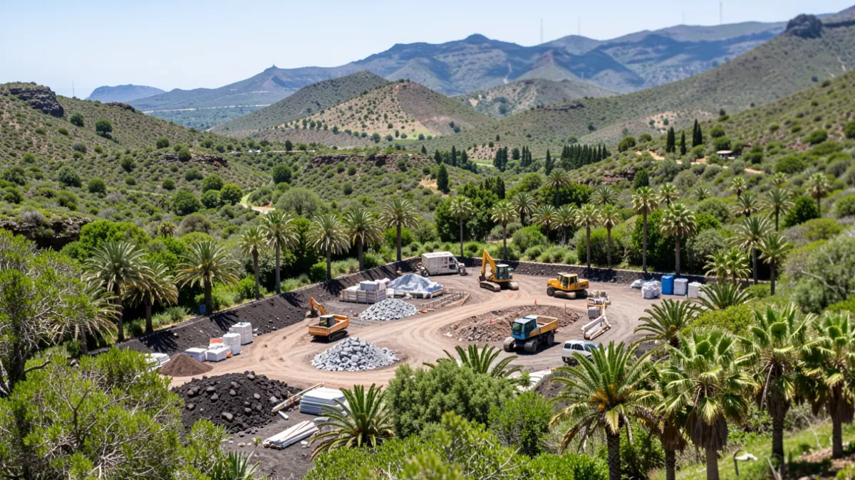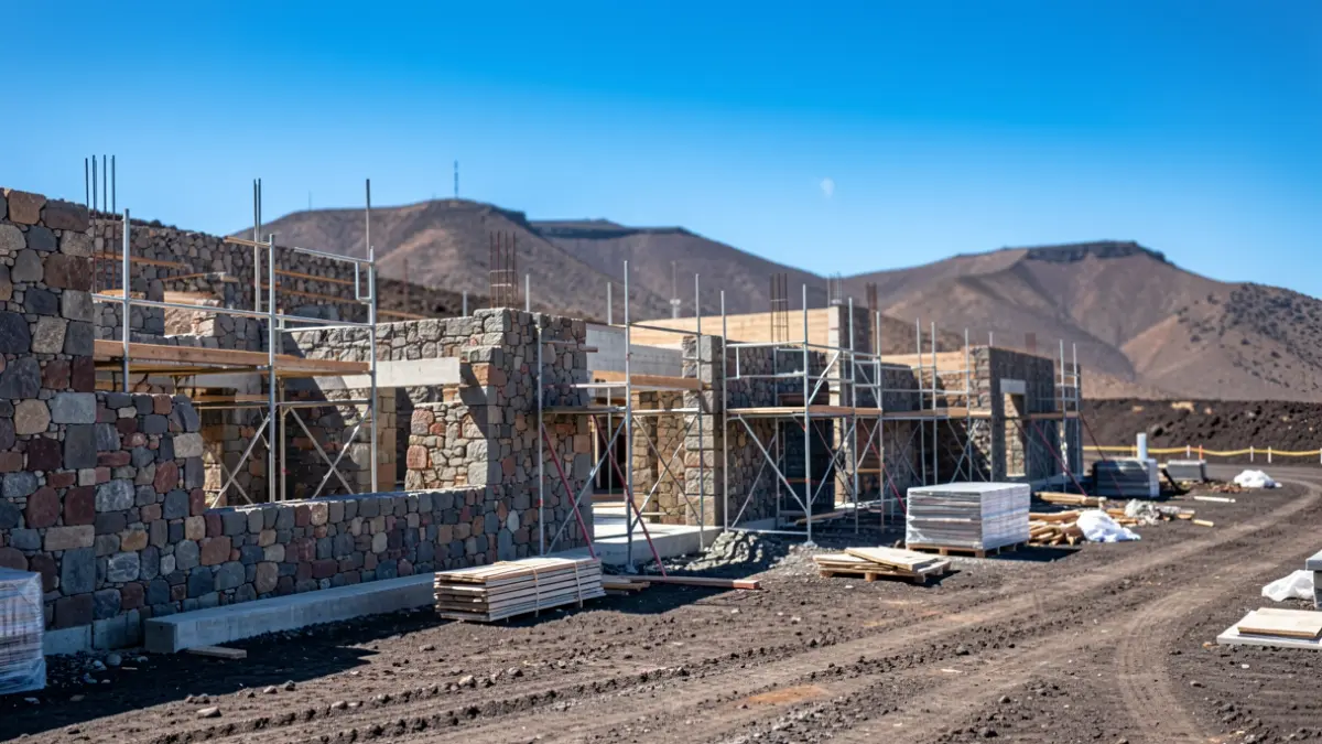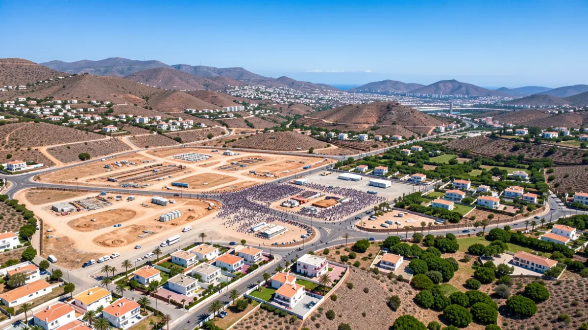
The Urban Planning Department of San Bartolomé de Tirajana will promote the planning of the Montaña La Data area, a population center in southern Gran Canaria that had been awaiting a definitive urban planning solution for over 20 years. The project covers an area of 341,420 square meters with approximately 350 homes and 230 built plots.
This action will enable the definitive urbanization and regularization of the area, leading to improvements in infrastructure, access, public services, and common spaces. It will also create new residential opportunities and land for future public facilities. The development will be carried out through a comprehensive commission to Gestur Canarias, a public company affiliated with the Regional Government, with an initial investment of 1.2 million euros and an estimated eight-year timeline.
The urban planning situation in Montaña La Data has historically been complex due to irregular development and challenges with the original planning, which created uncertainty for hundreds of families. The area has undergone numerous planning modifications, partial plans, reparcelation and urbanization projects, as well as various reports and administrative procedures to adapt the planning to the existing built reality.
The process faced significant setbacks due to court rulings that annulled projects approved in 1998, halting works carried out between 1998 and 2005. After years of technical, environmental, and legal review, the City Council's plenary session definitively approved the planning revision in December 2023, unblocking the development.
The new development distinguishes between areas already built and those pending development. In consolidated areas, urbanization and improvements to roads and infrastructure will be carried out, while pending areas will undergo reparcelation and urbanization processes to complete the management of the area.
“"It represents a before and after for Montaña La Data and for hundreds of families who have waited too many years for a definitive solution. We are not facing just another administrative procedure; we are laying the groundwork to resolve one of the biggest urban planning challenges in San Bartolomé de Tirajana."
“"This is one of the most complex and ambitious urban planning files this Department has faced in many years, as it involves coordinating urbanization projects, urban management, reparcelations, tenders, and infrastructure execution in a vast and well-established area. It is a large-scale undertaking that will shape the development of Montaña La Data for years to come."
The City Council anticipates that the urban development will facilitate progress in executing land reserves and assignments for public spaces, green areas, and future facilities, progressively improving Montaña La Data. Additionally, pending management plots will be developed, promoting more orderly growth and better integration of the area within the municipality.