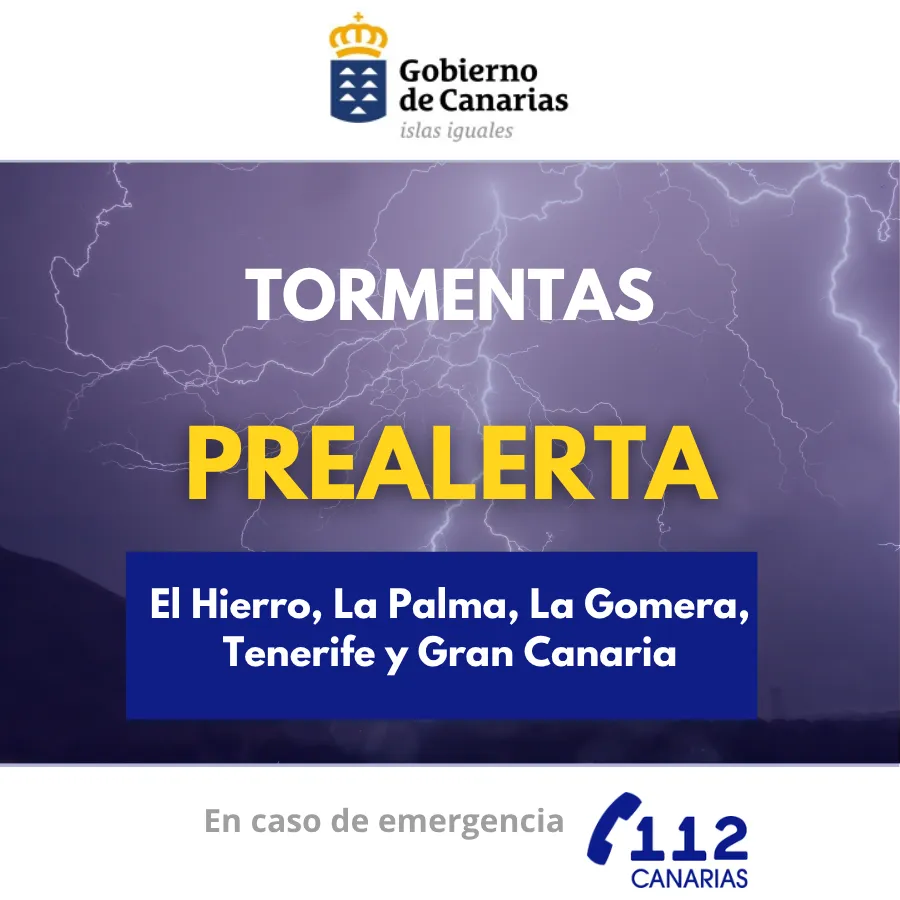
The Directorate General of Emergencies of the Government of the Canary Islands has updated the situation and activated an orange alert for the metropolitan area of Tenerife, based on forecasts from the State Meteorological Agency (AEMET) and other available sources. This measure is part of the Specific Emergency Plan of the Canary Islands for Risks of Adverse Meteorological Phenomena (PEFMA).
Meteorological forecasts indicate increased rainfall intensity on Sunday, November 1st, in Tenerife, with warnings of up to 30 mm accumulated per hour in the metropolitan zone. Significant accumulation over a 12-hour period is also a risk for this area. In the rest of the western islands and northern Gran Canaria, locally strong showers are expected on Sunday, with variable intensity and distribution.
Instability is expected to continue on Monday, November 2nd, in La Palma, El Hierro, La Gomera, and Tenerife, with the possibility of locally heavy rainfall between 00:00 and 18:00 hours. The eastern islands are not expected to be significantly affected, while in Gran Canaria, the highest probability of impact is concentrated on Sunday.
The Directorate General of Emergencies is continuously monitoring the situation, given the uncertainty regarding the location, intensity, and persistence of the rainfall, and will update forecasts if necessary. The public is urged to follow self-protection advice for heavy rainfall and flood risks.