The Canary Islands are bracing for a weekend characterized by persistent trade winds and active advisories from the State Meteorological Agency (AEMET). According to the latest projections, the European meteorological model indicates that the archipelago might be an exception to the general weather trend across the rest of the country.
For Friday, a drop in temperatures and very strong wind gusts are expected, particularly during the early morning in areas most exposed to the trade winds. In Lanzarote and Fuerteventura, skies will be cloudy during the first half of the day, with a low probability of occasional drizzle, clearing up in the afternoon. In the mountainous islands, the north will remain cloudy with light rain, while other areas will enjoy clear skies.
Maximum temperatures will see a slight to moderate decrease, while minimum temperatures will remain stable or drop slightly. The northeast wind will blow with moderate intensity, but intervals of strong winds are expected in the interior of Lanzarote, the peaks, and the slopes of the mountainous islands, with very strong gusts forecast for the early morning.
On Saturday, the day will be mostly stable with largely clear skies, although with some cloudy intervals in the north of the islands early and late in the day. Maximum temperatures will rise slightly, especially in La Palma, Tenerife, and Gran Canaria. The northeast wind will continue, being strong in exposed areas and peaks, with gusts potentially exceeding 80 km/h.
On Sunday, cloudy skies are forecast for the north of the mountainous islands with drizzle, cloudy intervals in Lanzarote and Fuerteventura, and clear skies elsewhere. Temperatures will barely change, and the northeast wind will maintain moderate intensity, with possible strong gusts in exposed areas.
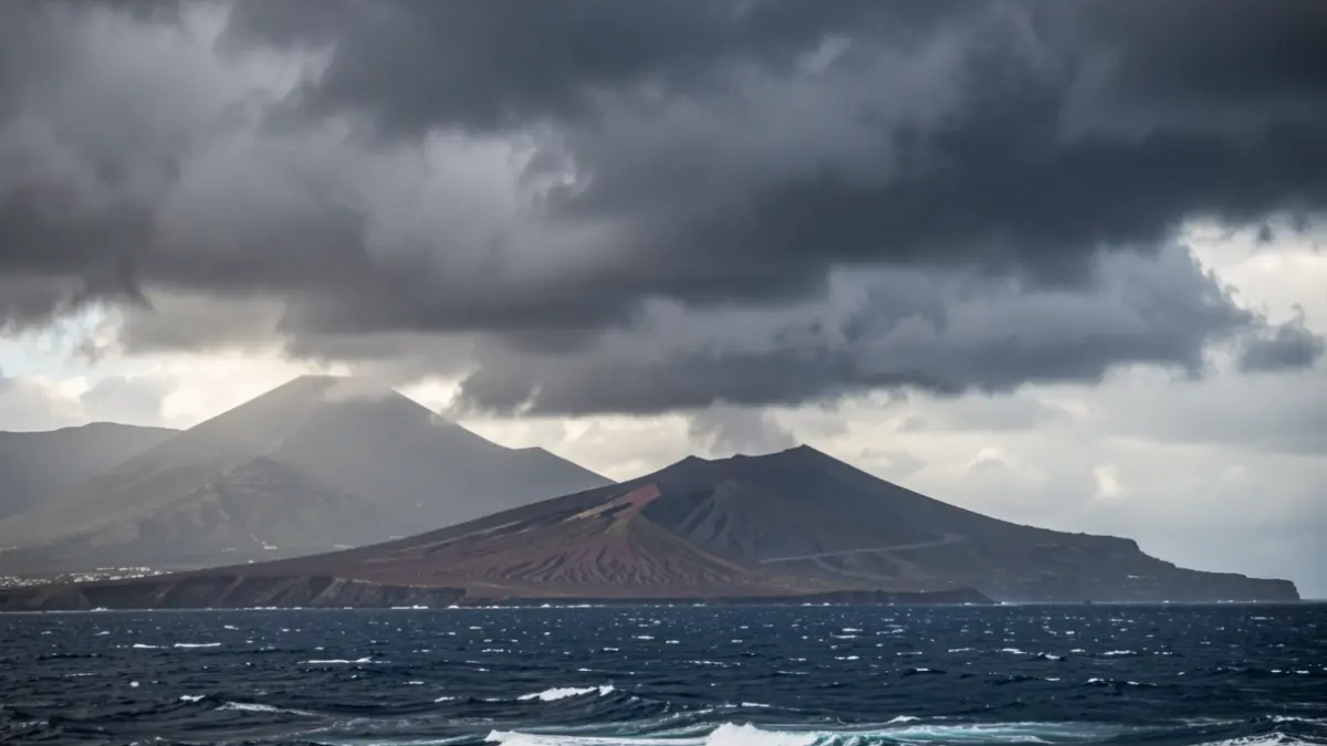
AEMET has also warned of very strong gusts and maritime storm conditions in the Canary Islands until Friday, while maritime storm is expected in the Balearic Islands tomorrow.