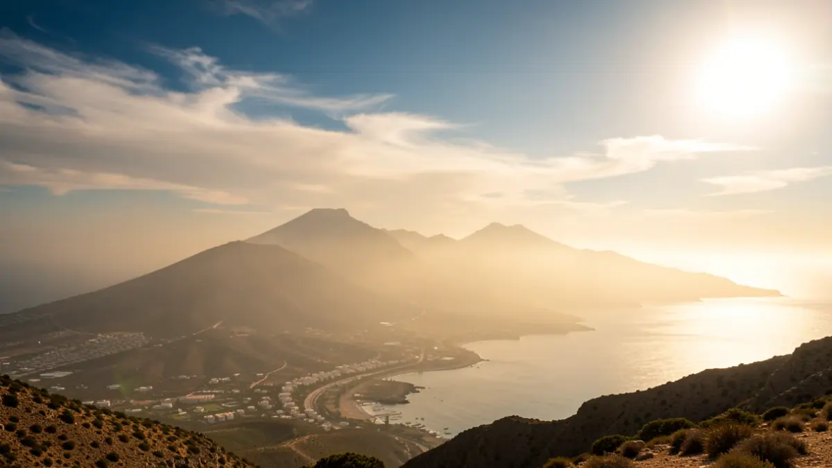
The State Meteorological Agency (Aemet) has issued a forecast predicting clear skies with light haze at altitude. Temperatures will generally exceed 30/33°C across the archipelago, except for the northern coasts. In inland and southern areas of Lanzarote and Fuerteventura, as well as in the midlands and southern-facing high areas of the other islands, highs are expected to exceed 34°C. Nights will also remain warm, staying above 25/27°C in the most affected regions.
In Gran Canaria, the basins of Tejeda and Tirajana are expected to record highs of 37°C, with the possibility of reaching 40°C locally. The island's midlands will exceed 34°C, reaching 37°C in some spots, while northern areas above 600-700 meters are forecast to see 34°C. Nighttime temperatures in the most affected areas will barely drop below 26/28°C. Winds will be from the north on the coasts, with strong intervals on the east and west littorals.
For the remaining islands, the forecast is similar: Lanzarote and Fuerteventura will see highs up to 37°C in the southern and eastern interior, with nights above 25°C. Tenerife anticipates highs of 34°C in the western, southern, and eastern midlands, with occasional 37°C, and nights around 25°C. La Gomera and La Palma will also experience highs up to 37°C in midlands and high areas, with nighttime lows around 25°C. El Hierro forecasts highs of 34°C in southern midlands and high areas, with occasional 37°C, and nights of about 25°C.
Regarding sea conditions, winds from the north and northeast of force 3 or 4 are announced, temporarily force 5, with slight to moderate seas. In other areas, variable winds of force 1 to 3 with rippled or slight seas are expected.