The State Meteorological Agency (Aemet) has issued various weather warnings for the Canary Islands starting this Monday. These include yellow-level alerts for heat, rough seas, and strong winds, with an orange-level warning specifically activated for high temperatures in Gran Canaria.
In Tenerife, a rough seas warning is in effect from Monday at 10:00 PM until Tuesday at 12:00 PM on the east, south, and west coasts, with northeasterly winds of 50 to 61 km/h. Additionally, a yellow alert for high temperatures will affect the east, south, and west slopes on Tuesday from 11:00 AM to 8:00 PM, with maximums expected to reach 34 ºC, particularly in the midlands of the southeast, south, and west.
Gran Canaria faces a wind warning from Monday to Tuesday (until 11:59 PM) on its east, south, and west slopes, with maximum gusts of 70 km/h, potentially reaching 90 km/h locally. The orange warning for heat will be active on Tuesday from 11:00 AM to 8:00 PM in the east, south, and west, with maximums of 37 ºC, and locally 40 ºC in inland areas and southeastern coastlines. A yellow heat warning also affects the summits on Monday from 11:00 AM to 8:00 PM, with maximums of 35 ºC, and will be repeated on Wednesday in the east, south, and west during the same hours. Furthermore, there is a rough seas warning on the east, south, and west coasts until Tuesday midday.
For La Gomera, the wind warning covers the entire island from Monday until Wednesday (12:00 PM), with gusts up to 70 km/h (locally 90 km/h). On Tuesday, from 11:00 AM to 8:00 PM, there will be a yellow alert for heat with maximums of 34 ºC. A rough seas warning is also activated on Tuesday for the entire island, with northeasterly winds of 50 to 61 km/h.
El Hierro and La Palma will have rough seas warnings from Monday night until Tuesday midday, with northeasterly winds of 50 to 61 km/h. Both islands will also activate a yellow heat warning on Tuesday from 11:00 AM to 8:00 PM, with maximums of 34 ºC, especially in inland southern areas.
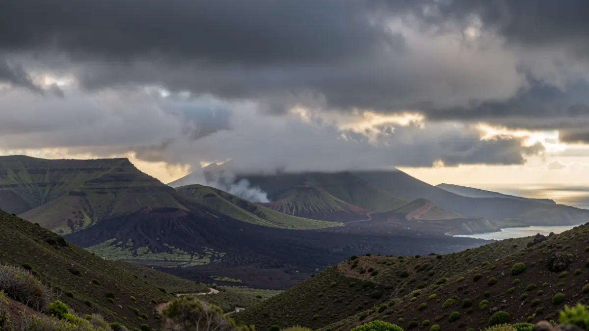
Lanzarote has a wind warning until Tuesday midday, with maximum gusts of 70 km/h, mainly affecting the southern half during nighttime hours.