This Saturday, June 27, the Canarian archipelago will face a predominantly stable weather day. However, cloudiness is expected in the north of the larger islands, and the northeast wind will gain intensity throughout the day.
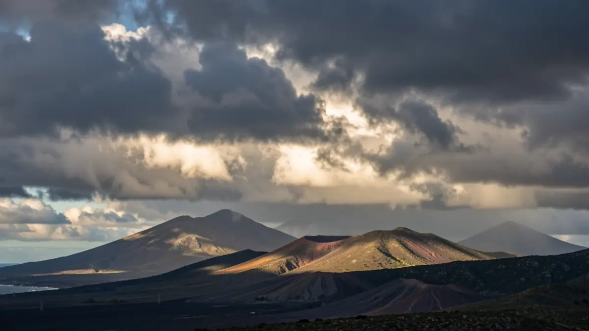
In Lanzarote and Fuerteventura, skies will remain mostly clear, with morning intervals in the north and west. The larger islands will see developing cloudiness in the interior of the western ones, with the possibility of weak, scattered precipitation. The north of these islands will remain cloudy, with probable light rains in exposed midlands during the night, although clearer spells are expected in Gran Canaria during the day.
Temperatures will show little change, with a slight decrease in maximums in the northern midlands. The wind will blow from the northeast, intensifying in the afternoon.
Sunday, June 28, will begin with abundant cloudiness in the north, where weak and occasional light rains are possible in the morning. Later, the weather will stabilize in the rest of the archipelago, with predominantly clear skies. Temperatures are expected to rise, especially in the southern interior and western mountainous islands, while the trade winds will blow strongly again.
Monday, June 29, is expected to bring a fully summery atmosphere with clear skies across most of the islands. There will be intervals of low clouds in the north and the presence of high-altitude dust (calima), more noticeable in the eastern province. Temperatures will continue to rise, potentially reaching 34 ºC in the south of Gran Canaria. The trade winds will blow strongly in the southeast and northwest slopes.
The State Meteorological Agency (@AEMET_Esp) has indicated that temperatures will be above normal for this time of year. The trend for the coming week suggests stable, sunny weather with no precipitation.