An intense heatwave, affecting most of the country since Wednesday, will extend across the Canary Islands for several days. The State Meteorological Agency (AEMET), through its spokesperson Rubén del Campo, has explained that very high temperatures and a very high or extreme fire risk are expected.
The entire Canary archipelago is on high temperature pre-alert. Specifically, Gran Canaria has a yellow heat warning this Wednesday, which will intensify to an orange warning on Thursday for the eastern, southern, and western slopes of the island.
Temperatures in the Canary Islands are forecast to exceed 34 to 36°C in wide areas throughout the week, with elevated nighttime temperatures, even exceeding 28°C in the midlands of Gran Canaria.
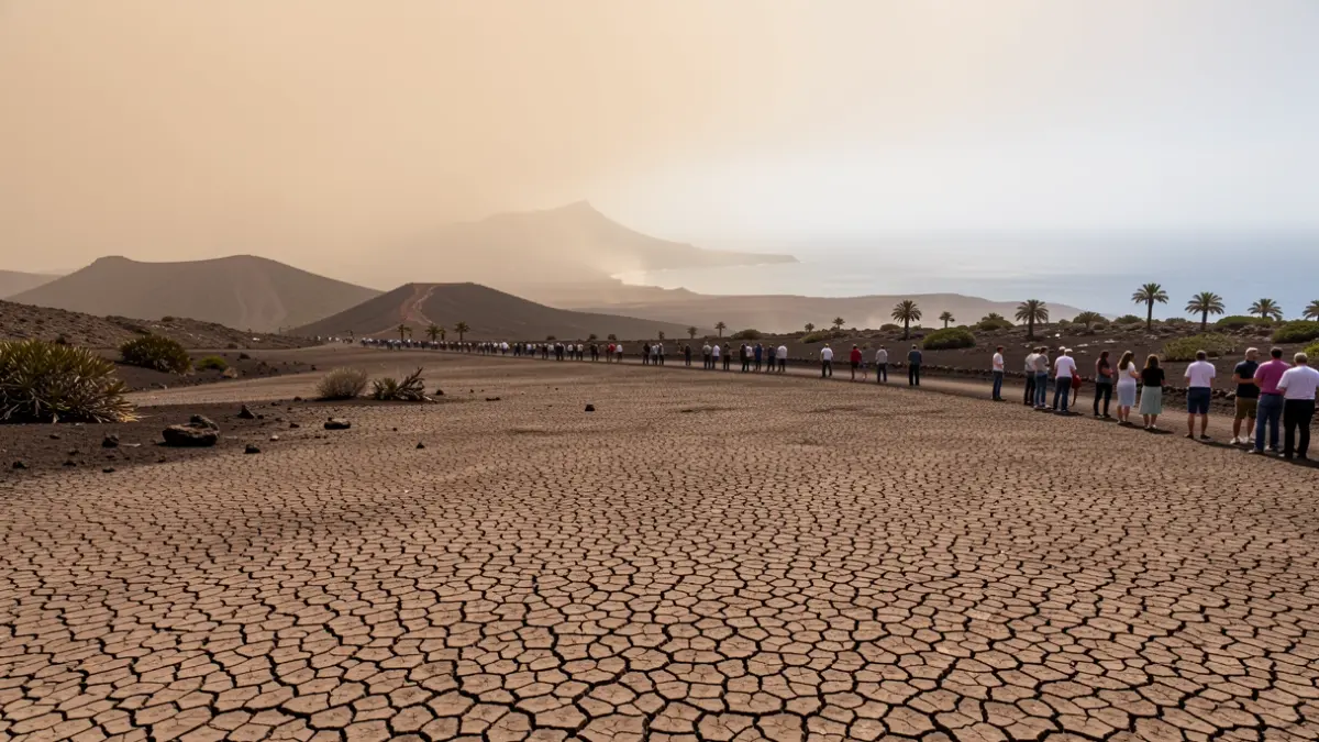
In addition to the heat, the presence of suspended dust (calima) is expected in the eastern islands, which will worsen air quality, along with smoke from forest fires.
The risk of forest fires will be very high or extreme in a large part of the country. Winds from the south and southwest, which will strengthen from midday, will hinder firefighting efforts.
The highest temperatures recently recorded exceeded 40°C in locations on the mainland such as Almadén (Ciudad Real), Andújar (Jaén), and Montoro (Córdoba). Nights have also been very warm.
For this Wednesday and Thursday, temperature decreases are expected in the far north, but increases in the east and south of the mainland, reaching 36 to 38°C generally, and over 40°C in valleys such as the Ebro, Tajo, Guadiana, and Guadalquivir.
Looking ahead to Friday and the weekend, temperatures are expected to remain high, with nights not dropping below 22 to 24°C, and the possibility of torrid nights (minimums above 25°C) in the Mediterranean and cities in the center and south.
AEMET does not rule out that the heatwave could extend into early next week. Rainfall will be scarce, although isolated thunderstorms may occur in mountainous areas.
The estimated duration of this heatwave is several days, extending at least until Sunday and potentially into early next week.