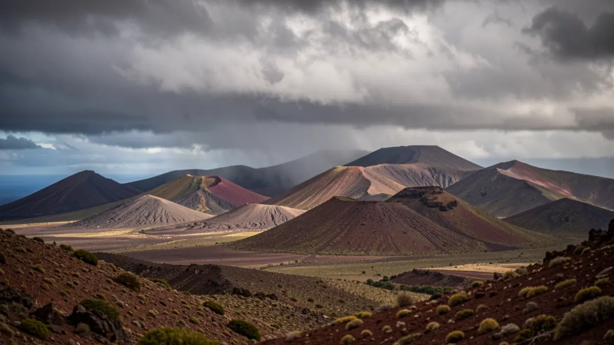
The State Meteorological Agency (AEMET) has announced a shift in the weather pattern for the Canary Islands. Following a period of unusually high temperatures for this time of year, a weekend of relief is expected before the thermometers rise again.
For this Friday, May 29, cloudy skies are forecast in the north of the mountainous islands, especially below 900 and 1,200 meters, with the possibility of occasional drizzles in mid-altitude areas. Some clear spells are expected during the day. The rest of the archipelago will predominantly see little cloud or clear skies. Temperatures will experience minor changes, with slight decreases inland. Winds will blow moderately from the northeast, with strong intervals in exposed slopes.
Saturday, May 30, coinciding with Canary Islands Day, the trend will continue with cloudy skies in the north of the mountainous islands and possible light drizzles in mid-altitudes. The rest of the islands will enjoy mostly clear skies. Temperatures will vary little, and the northeast wind will remain moderate, with strong gusts in exposed areas.
Looking ahead to Sunday, May 31, a similar situation is expected, with cloudy skies in the north of the mountainous islands and the possibility of light, scattered drizzles in mid-altitudes. Clear spells will open up during the central hours of the day. In Lanzarote and Fuerteventura, cloudy intervals are expected in the north and coastal areas during the night. Temperatures will remain stable or slightly increase, and the northeast wind will continue to blow moderately with strong gusts in exposed slopes.
This forecast marks a respite before, according to AEMET predictions, temperatures return to around 30 degrees, a situation more typical of mid-summer.