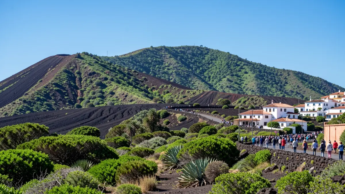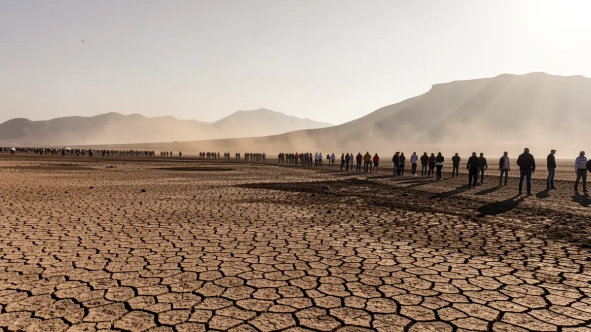
The State Meteorological Agency (Aemet) has forecast that temperatures across the islands will reach peaks of up to 40 degrees Celsius, particularly in Gran Canaria, accompanied by high-altitude dust (calima) and nighttime lows that could hover around 28 degrees Celsius in the most affected areas.
Skies will remain mostly clear throughout the archipelago. The heat will concentrate in the midlands and summits, although some coastal areas in the southeast will also register high values, exceeding 35 degrees Celsius in broad regions.
In Gran Canaria, the most adverse situation is expected in the southern and western-facing summits and midlands, where temperatures could reach 39 degrees Celsius, with the possibility of locally exceeding 40 degrees. Even in the northern midlands, such as the Agaete Valley, highs of up to 37 degrees Celsius are anticipated.
Low-lying southeastern areas will record over 35 degrees Celsius, and nighttime minimums will offer little relief, remaining above 27 degrees Celsius in the warmest areas, such as in Tenerife, and not dropping below 28 degrees Celsius in the most affected parts of Gran Canaria.
In Las Palmas de Gran Canaria, the maximum forecast is 30 degrees Celsius and the minimum is 26 degrees Celsius. In the province of Santa Cruz de Tenerife, temperatures will rise generally, exceeding 35 degrees Celsius in the southern and western midlands of Tenerife, and potentially reaching 37 degrees Celsius in summit areas.
Dust (calima) will be present, especially in the midlands, summits, and upper atmospheric layers. In Lanzarote and Fuerteventura, skies will be clear with suspended dust, and temperatures will rise in low-lying areas while slightly decreasing on the summits.
The combination of high temperatures, low humidity, and dust could reduce visibility and increase the sensation of heat. Winds will blow moderately from the northeast, increasing in intensity in the afternoon on the western extremities and southeastern coasts, with possible strong gusts in Gran Canaria.
Maritime forecasts for the Anaga-Agaete channel anticipate a northeast wind of force five or six, locally seven, with moderate to rough seas.