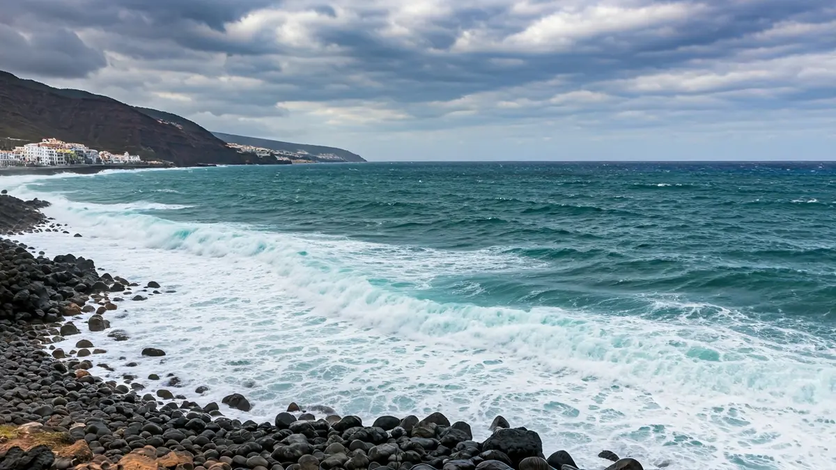
The State Meteorological Agency (Aemet) has issued a yellow alert for the entire Canarian archipelago, effective from this Monday until 8:00 AM on Tuesday. Intense wind gusts and a complicated sea state are expected, with waves potentially reaching up to four meters in height.
Throughout Monday, maximum temperatures will see slight increases in inland areas. Winds will blow from the northeast with moderate to strong intensity, possibly reaching very strong gusts in various locations across the islands. At sea, conditions will be rough, with strong swells and areas of very rough seas, in addition to northerly or northwesterly swell that will intensify from the afternoon.
Weather instability will continue on Tuesday, especially during the early morning. Very strong wind gusts are not ruled out in mountain peaks and on the southeast and northwest slopes of the mountainous islands, as well as in inland areas of Lanzarote. Regarding skies, Lanzarote and Fuerteventura will have cloudy intervals in the morning, tending to clear in the afternoon. In the rest of the archipelago, cloudy skies will prevail in the north, with a low probability of weak rainfall, while in the south and other slopes, skies will remain partly cloudy or clear. Temperatures will show little change or slight increases.
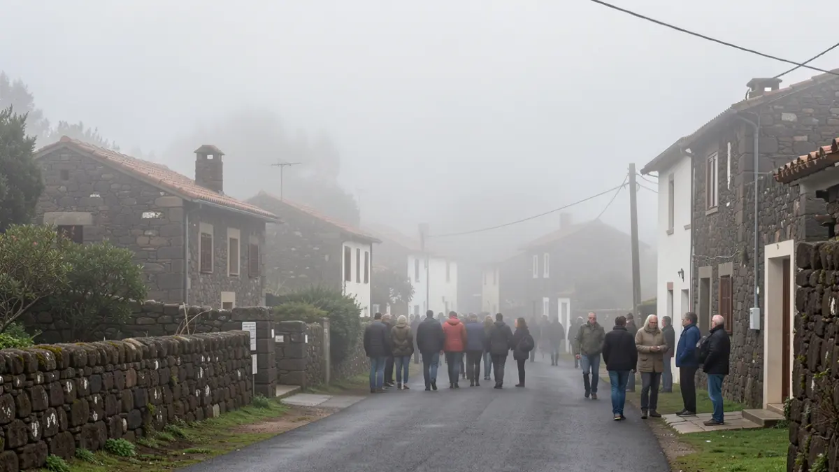
Authorities have urged the public to exercise extreme caution, particularly in coastal areas and those exposed to strong winds.