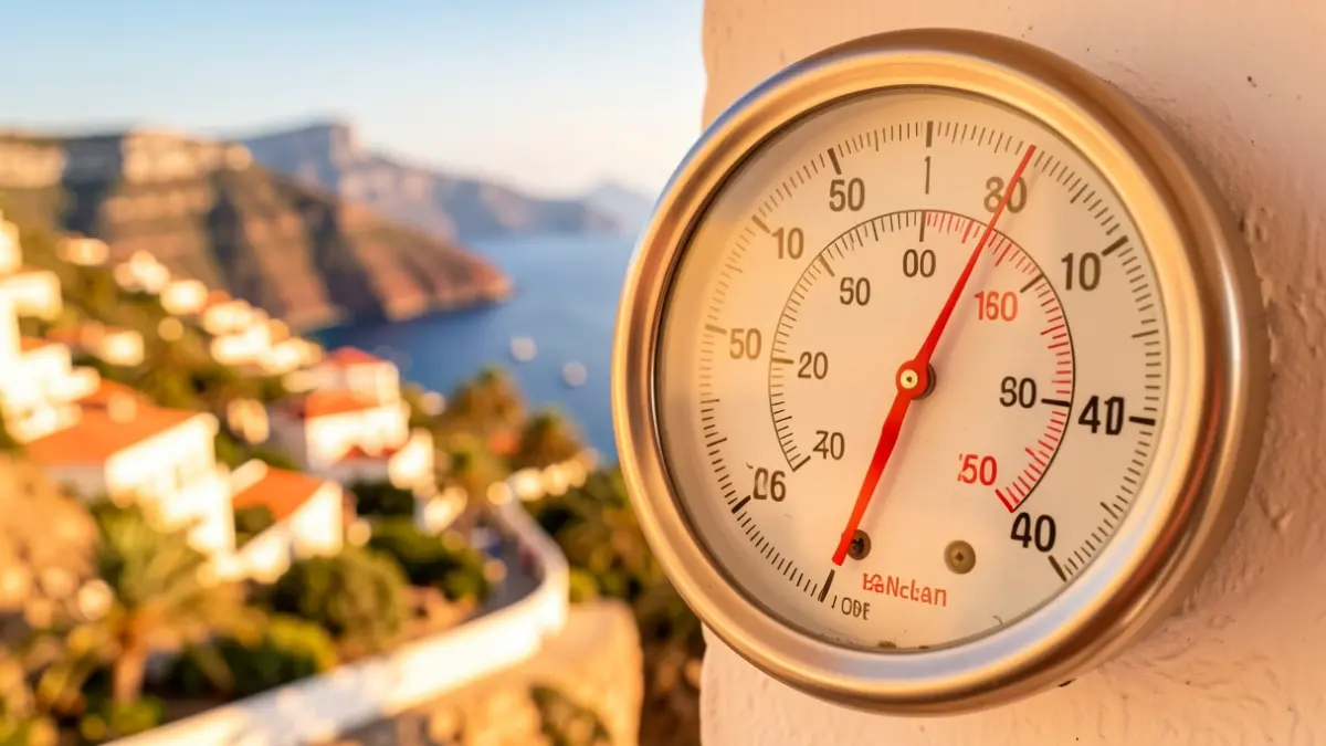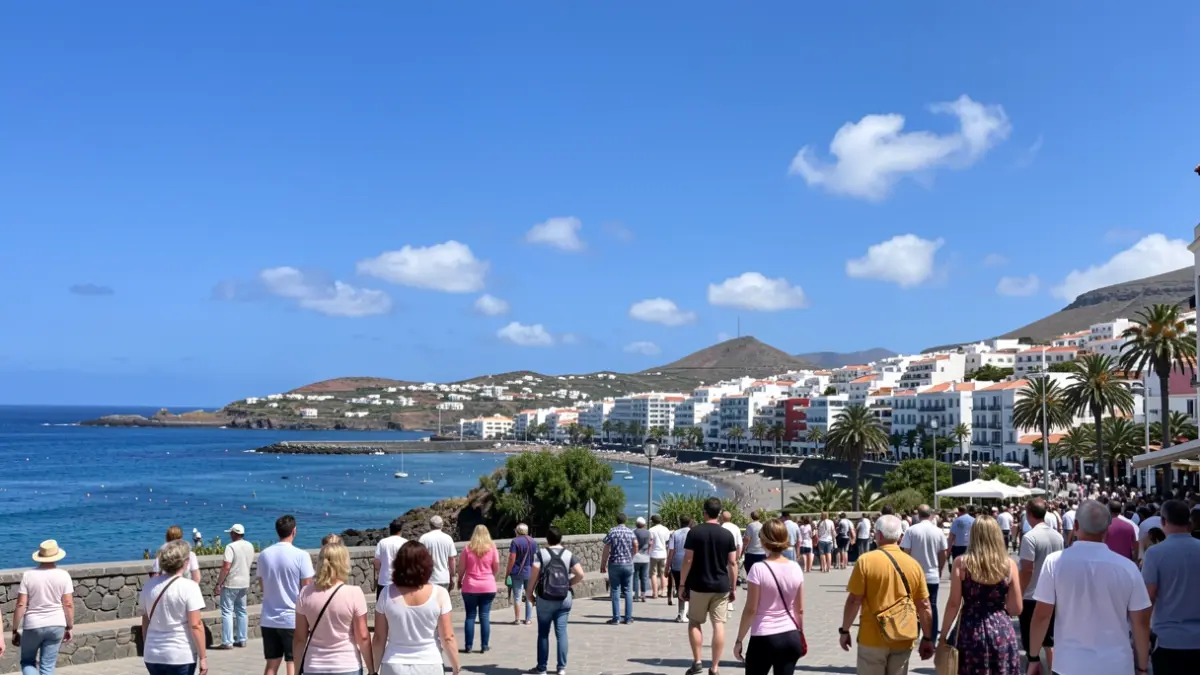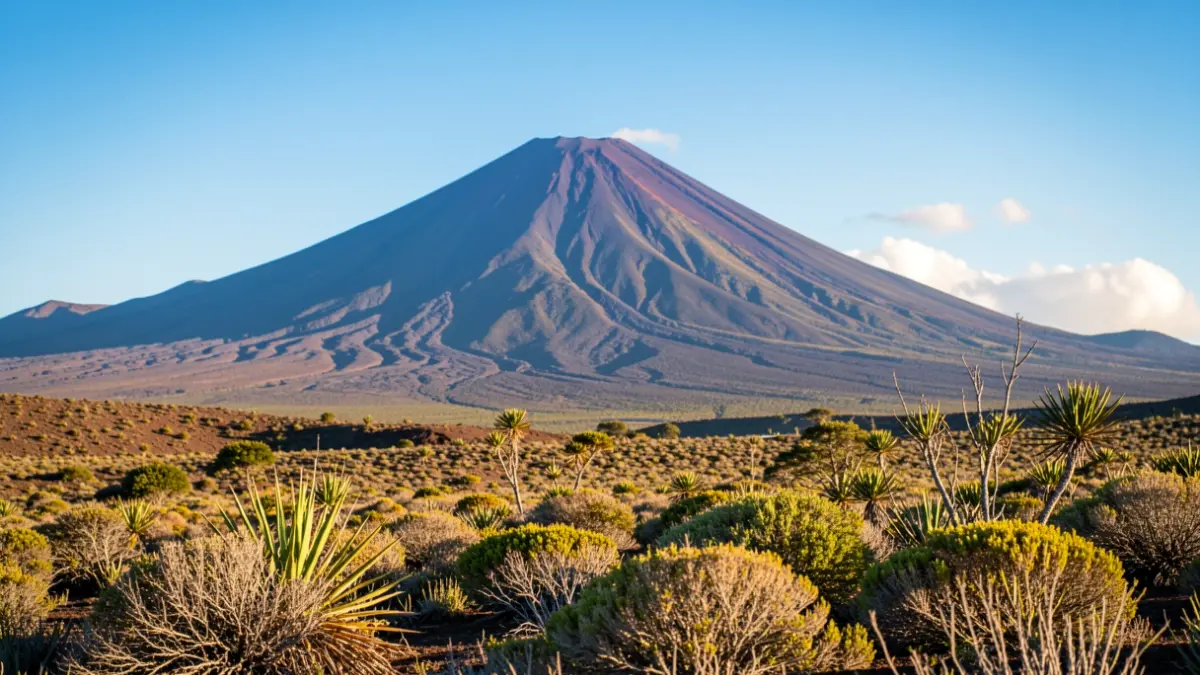
The State Meteorological Agency (Aemet) forecasts that the heat will offer a reprieve to Tenerife this Thursday, with a thermal decrease that will be more pronounced in high-altitude areas. Despite the improvement, mid-altitude zones in the south and west of the island could still register highs of up to 30 degrees Celsius.
In Santa Cruz de Tenerife, temperatures will range between a low of 21 degrees and a high of 28 degrees, more moderate values than those experienced recently. The sky will be mostly clear, with possible morning cloudy intervals in low-lying northern areas and late in the day below 600-700 meters.
The calima, present at altitude, will gradually recede, allowing for improved visibility throughout the day. The southern and western mid-altitudes will remain the warmest areas, while the northern coast will enjoy a cooler atmosphere due to low clouds and northerly winds.
Winds will blow moderately from the north, with forecasts of strong intervals and occasionally very strong gusts in the southern slope of the Anaga massif and in the central peaks during the second half of the day. Brisk breezes will prevail on the north and west coasts.
While Tenerife experiences this temperature drop, Gran Canaria remains under a yellow heat warning, with maximum temperatures potentially reaching 34 degrees Celsius, especially between 600 and 900 meters in altitude.
The rest of the archipelago's islands will also see a decrease in maximum temperatures, although some coastal areas like southeastern Fuerteventura or southern El Hierro could exceed 30 degrees. The marine forecast warns of north or northeast winds force 5, which could increase to force 6 offshore.
Despite not being under a yellow warning, caution is advised in Tenerife, particularly in the peaks and exposed areas to the wind, and it is recommended to stay well-hydrated and avoid physical exertion during the central hours of the day.