The Ministry of Territorial Policy, Territorial Cohesion, and Water, led by Manuel Miranda (Coalición Canaria), has rejected the public information request from the environmental organization ATAN. The association sought the vector data (SHP extension) of the new delimitations to precisely analyze the boundaries of the Archipelago's protected areas.
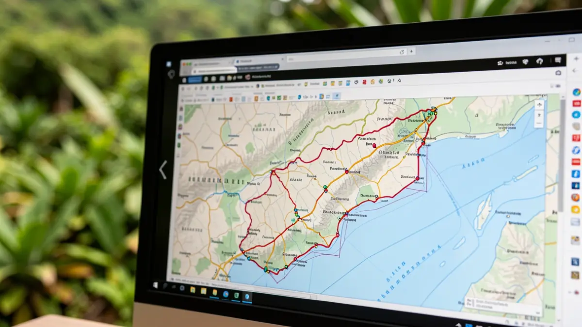
The regional Executive justifies its refusal by stating the need to “avoid the circulation of open files that are not definitive.” It has directed ATAN to consult the new limits via the GRAFCAN viewer, a tool that, according to Iván Cerdeña of the Tinerfeña Association of Friends of Nature, only allows for a visual inspection (“at a glance”), making rigorous map study “unviable.”
Cerdeña criticizes that “it is unfeasible to manually review hundreds of kilometers of natural space boundaries” and likens it to “having to compare one map with another without any analysis tools.” Environmental organizations warn that minor alterations in the maps could leave thousands of square meters in the Canary Islands unprotected.
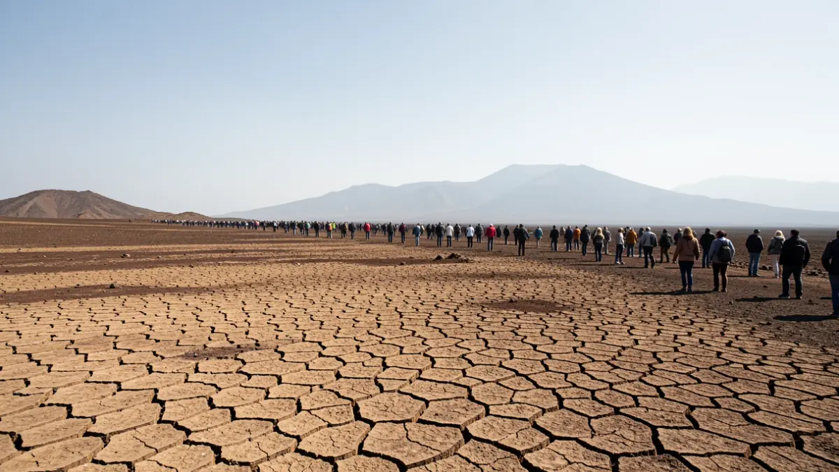
Specifically, it is noted that the new delimitations might exclude “several thousand square meters” from the Malpaís de Güímar Special Nature Reserve, in the area adjacent to the Puertito de Güímar urbanization. Variations have also been found in the boundaries of the Corralejo Natural Park. Geomatics and Topography specialist Manolo Viera had previously warned of a reduction of 260,000 square meters in the Dunas de Maspalomas Special Nature Reserve.
Eugenio Reyes, spokesperson for Ben Magec-Ecologistas en Acción, laments that “errors always go against the general interest,” suggesting that mistakes result in less protected area. The law aiming to digitize the boundaries of protected natural spaces seeks to replace current paper annexes with a digital file for 148 protected areas, covering 302,000 hectares.
The Government, led by Fernando Clavijo, argues that the current maps, based on a 1987 flight, are obsolete and that a minimal deviation on paper can translate to up to 50 meters difference on the ground. The lack of precise delimitation creates legal certainty issues for administrations and landowners.
The Ministry acknowledges in its explanatory memorandum that an “absolute geometric coincidence” between the original and new maps will not be possible due to changes in reference systems (from Pico de las Nieves/ED50 to WGS84). The Executive claims to have resolved the “incidents” based on the “principle of non-regression,” but environmentalists demand access to the raw data for verification.
“"It is ironic that they do not allow us to access the digital documents of a digitization law. It's as if they had given us paper, basically. On the GRAFCAN viewer, you can download any map of any area, except these."
Eugenio Reyes believes this is an attempt by the Executive to “leave the boundaries ambiguous” and create a “loophole” favoring urban development and infrastructure interests. He asserts that the regional government is violating transparency laws by not providing the provisional maps. Cerdeña warns of the risk that small variations in boundaries could exclude protected species populations or archaeological sites.