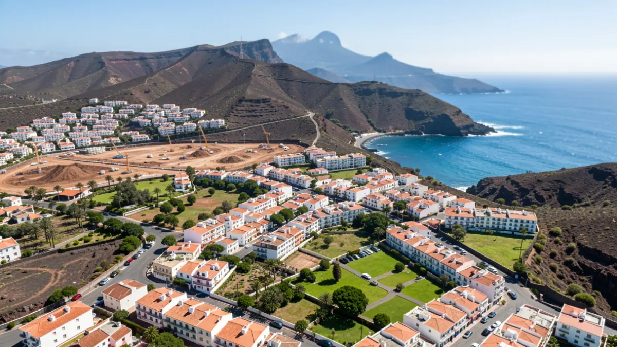
The municipality of Agaete is promoting a modification of the General Urban Planning Plan with the aim of unblocking the construction of a commercial area in the Las Candelarias urbanization, located next to the town center. The proposal will allow the construction of a building of up to two floors and 3,664 square meters of buildable area for a supermarket, ensuring the protection of the archaeological and historical sites found in the area. The project also includes the creation of a parking lot with capacity for 160 vehicles.
This initiative seeks to resolve an urban planning deadlock that dates back 13 years, when the developer presented a plan that was later affected by the discovery of historical remains, a court ruling, and the recent suspension of the file by the Cabildo's Historical Heritage department, which detected a 'material error'.
The conflict originated after a partial review of the planning in 2014. Although the plot maintained its commercial and administrative classification, it was included within an archaeological site known as '5B', whose file limited actions to educational and conservation uses. The City Council later considered this limitation to be a material error and attempted to correct it without modifying the planning, but Historical Heritage rejected this interpretation in a report issued on April 1, 2025, arguing that the restriction was a preventive measure due to the possible existence of archaeological remains and that its modification required formal processing of the General Plan.
The current modification aims to resolve this conflict and expand the permitted uses not only on the commercial plot but also on land designated for an urban park, cultural facilities, and sports amenities. Previously, in January 2014, the Contentious-Administrative Chamber of the Supreme Court had annulled the Partial Plan of Las Candelarias, which necessitated a modification that eliminated the typology of isolated single-family homes to introduce terraced single-family homes.
The commercial and administrative plot covers 5,736 square meters, of which 3,664 are buildable. Two floors will be permitted, and the initial project adapts to the terraced terrain, minimizing visual impact. The supermarket will align with the main road and will have parking for 160 vehicles, with at least four spaces reserved for people with disabilities. The current irrigation channel and stone masonry will be respected due to their historical value.
Construction will be carried out by integrating the irrigation channel into the parking lot. The historical wall must be fully documented and can be buried or incorporated into the design. At least three information points will be installed to explain the history of the irrigation channel, historical crops (sugarcane, vines, banana plants, tomatoes), the Agaete sugar mill, and the area's pre-Hispanic remains.
The third area, designated archaeological zone number 8, comprises the land intended for the urban park and facilities. As no excavations have been carried out in this part of the sector, any action will require preliminary soundings or archaeological control during construction. The appearance of new remains could lead to the modification or partial suspension of planned interventions. The selected proposal is considered by its drafters to best reconcile heritage conservation with urban planning uses, differentiating land with burials, agricultural elements, and archaeological potential. The plan includes environmental and landscape monitoring measures.