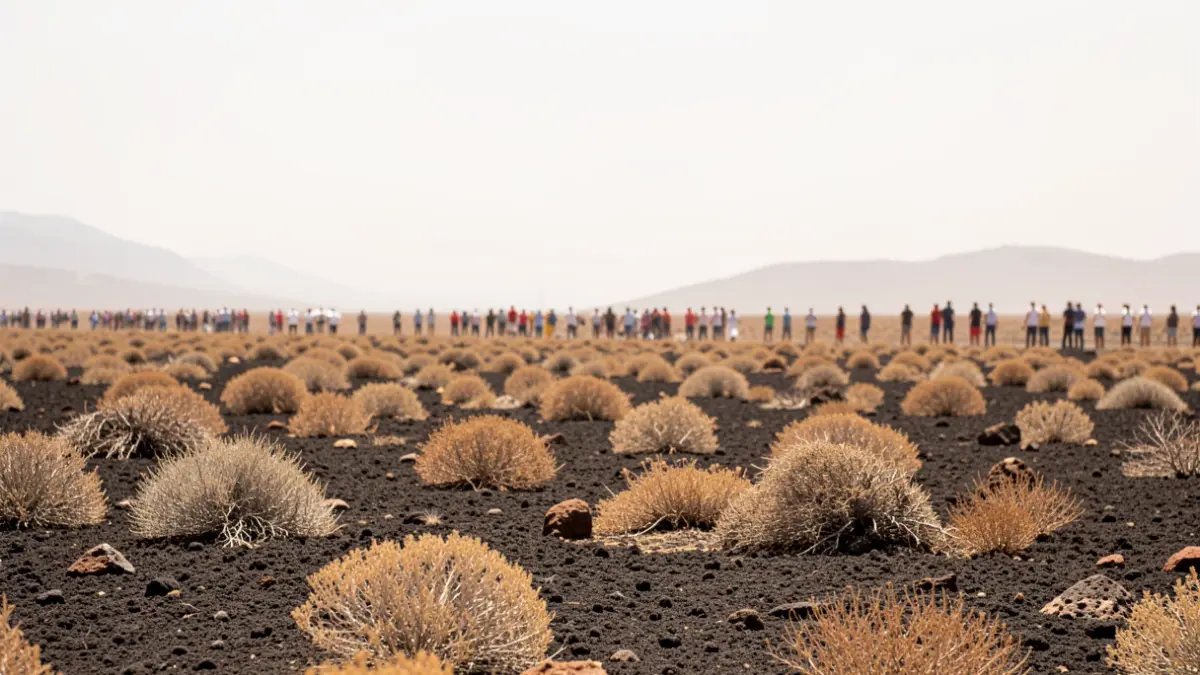
The State Meteorological Agency has issued an alert regarding a change in weather conditions affecting the islands. Following a period of milder temperatures, a thermal rise is expected, becoming particularly noticeable from Sunday onwards and spreading across the entire territory throughout the coming week.
The phenomenon will be accompanied by calima (dust haze) and winds originating from the African continent. This meteorological configuration will cause the trade winds to weaken, remaining limited mainly to northern coastal areas, allowing heat to gain ground in the midlands, inland areas, and the south of the islands.
“"We could reach orange warnings for temperatures exceeding 37 degrees in many areas."
Forecasts indicate that Wednesday will be the hottest day of the episode. In specific parts of Gran Canaria and Tenerife, thermometers could record significant values, with early mornings also affected by the increase in minimum temperatures.