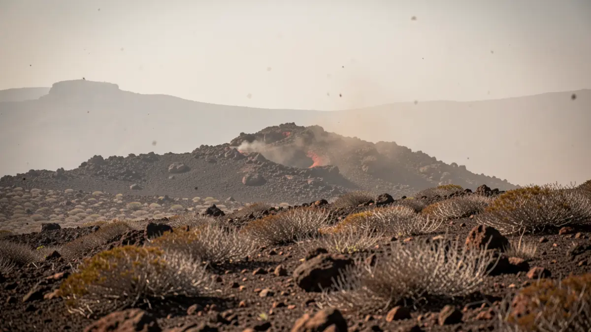
The General Directorate of Emergencies of the Government of the Canary Islands has updated the situation to MAXIMUM ALERT for Gran Canaria above 400 meters altitude, effective from 11:00 AM on August 3, 2026. This measure, declared under number 5/2026, is based on the Special Plan for Civil Protection and Emergency Response for Forest Fires (INFOCA).
The rest of the islands remain on alert. The episode of high temperatures, expected to last several days, will particularly affect the Tejeda basin and the midlands of the southeast and west of Gran Canaria, where temperatures could locally exceed 40 ºC. In Tenerife, the midlands, areas of the Metropolitan Area facing southeast, and locally coastal zones will also be affected.
The meteorological situation is characterized by a low thermal inversion, initially located around 400 meters in Gran Canaria and between 500 and 700 meters in the western islands, with a tendency to progressively descend. This will favor a warm and dry environment in midlands and high areas, with relative humidity below 30% above the inversion. The entry of African air could bring weak calima (dust haze).
The predominant wind will be from the northeast (trade winds) of moderate intensity, with locally strong gusts in exposed areas and inter-island channels. Meteorological analyses indicate a progressive increase in forest fire risk in the coming days, especially on Monday. The situation will be continuously monitored, and the territorial scope of the INFOCA maximum alert may be updated according to the evolution of meteorological predictions and risk indices.