A scientific team from the Spanish Institute of Oceanography (IEO-CSIC) has concluded an oceanographic campaign focused on enhancing the understanding of underwater mountains located in the northeast and southwest of the Canary Islands. These areas, of significant ecological value and part of the Natura 2000 Network, have been studied for 21 days.
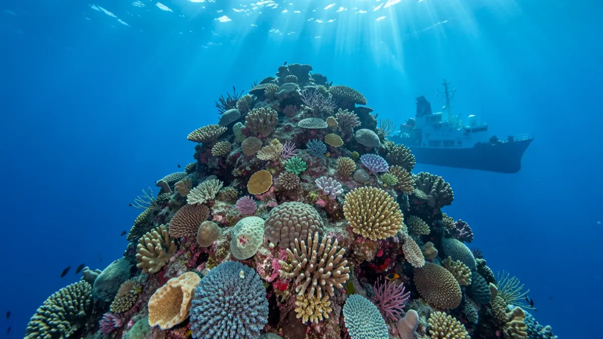
The work included detailed mapping, geological characterization, and biodiversity studies across several seamounts in the archipelago. Explored zones include the Rybin, Ancor, Dacia, and Nico Sur seamounts in the northeast sector, and Drago, The Paps, Echo, and Bimbache in the southwest. These protected marine areas are crucial for conservation.
Pablo Martín-Sosa, a researcher at the Canary Islands Oceanographic Center and chief scientist of the campaign, highlighted that the expedition has allowed for the completion of studies in previously underexplored areas and has significantly increased available information on the deep benthic communities associated with these seamounts.
The campaign utilized advanced technology, including multibeam echosounders and state-of-the-art acoustic systems, to acquire high-resolution bathymetry. Sediment samples were also collected to precisely characterize the seabed nature and its geological processes. Numerous visual transects and targeted sampling were conducted to assess the biological diversity and conservation status of communities in the deep bathyal zone, between 800 and 2,000 meters depth.
Following the main campaign, the 'Odón de Buen' vessel made a stop at El Hierro to continue monitoring the underwater volcano Tagoro, currently in its degassing phase. A mooring deployed in November 2025 was recovered, providing continuous data on temperature, conductivity, pressure, pH, and oxidation-reduction potential (ORP), essential for understanding the volcano's physical and chemical dynamics over time.